Altitude, azimuth, and line of position : comprising tables for working sight of heavenly body for line of position by the Cosine-Haversine formula, Marcq Saint Hilaire method and also Aquino's altitude and azimuth tables for line of position, Marcq Saint Hilaire method
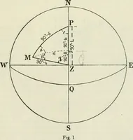
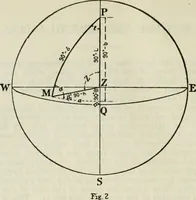
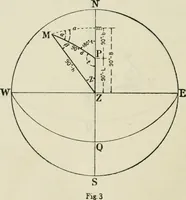
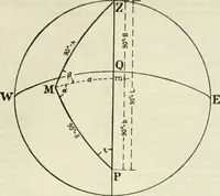
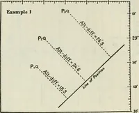
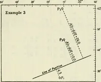
A 1918 navigation manual issued by the United States Hydrographic Office and printed by the Government Printing Office, supplying tables and worked methods for computing altitude, azimuth, and line of position at sea. The plates are line diagrams of the celestial sphere: circles marked N, S, E, W, Z, P, with spherical triangles, dashed guide lines, and labels like 90°-h, useful as geometric line art.