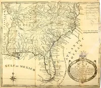
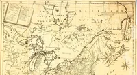
The American geography, or, A view of the present situation of the United States of America: containing astronomical geography, geographical definitions, discovery, and general description of America,... particular descriptions of the thirteen United States, and of Kentucky, the western territory and Vermont,... illustrated with two sheet maps,... to which is added, a concise abridgment of the geography of the British, Spanish, French and Dutch Dominions in America, and the West Indies--of Europe, Asia and Africa
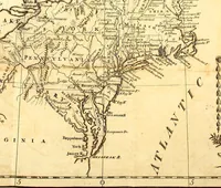
Jedidiah Morse's gazetteer of the new United States, printed at Elizabeth Town, New Jersey, by Shepard Kollock in 1789 for American readers and schools, with two folding sheet maps engraved by Amos Doolittle of New Haven. The plates are copperplate maps of the northern and southern states: hairline coasts and river systems, hatched mountain ranges, italic place-names, latitude scales, a compass rose, and title cartouches hung with beaded swags and tassels.