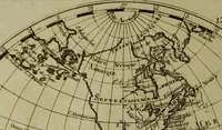
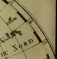
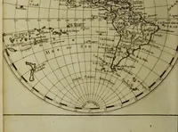
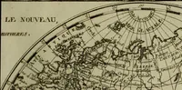
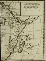
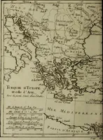
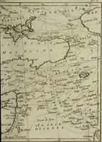
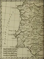
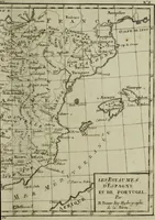
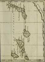
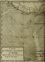
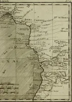
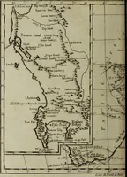
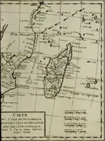
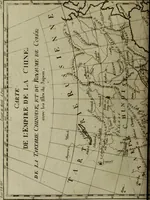
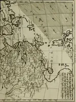
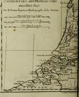
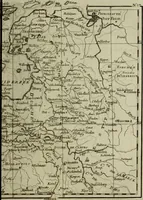
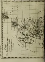
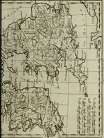
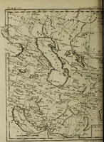
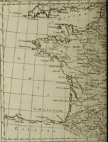
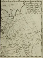
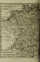
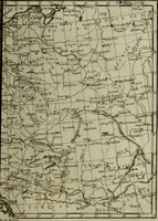
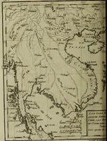
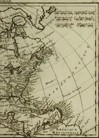
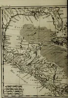
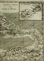
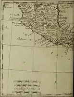
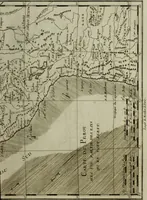
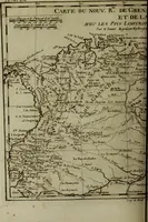
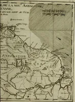
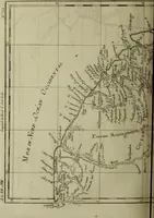
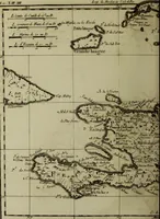
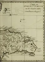
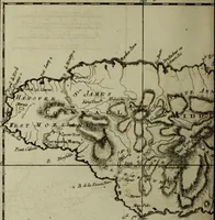
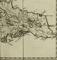
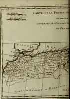
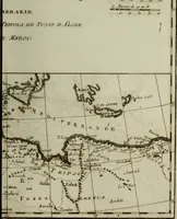
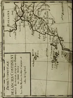
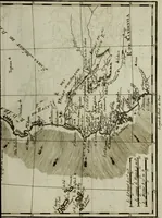
Atlas de toutes les parties connues du globe terrestre : dressé pour l'Histoire philosophique et politique des établissemens et du commerce des Européens dans les deux Indes
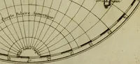
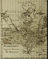
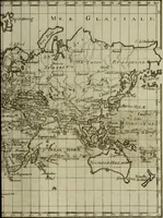
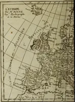
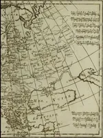
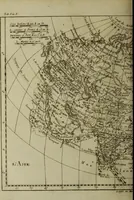
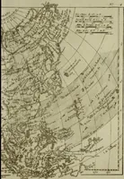
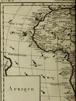
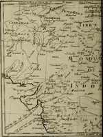
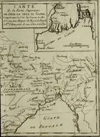
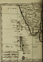
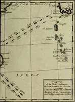
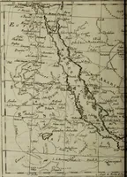
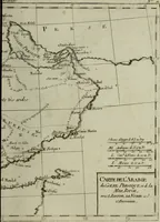
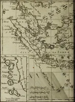
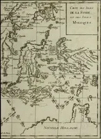
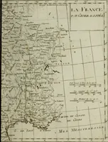
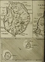
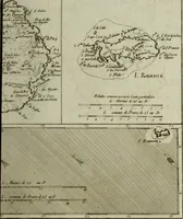
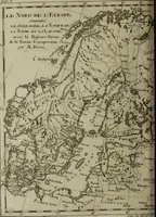
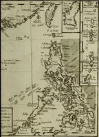
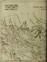
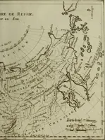
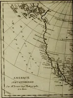
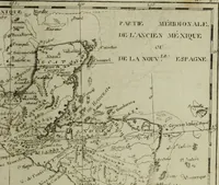
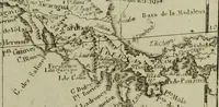
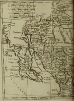
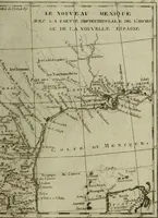
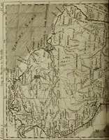
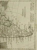
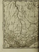
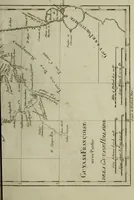
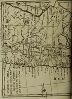
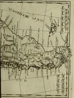
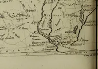
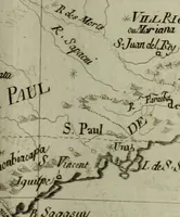
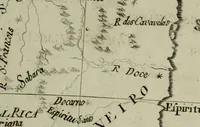
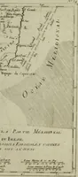
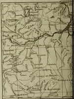
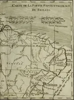
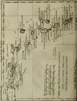
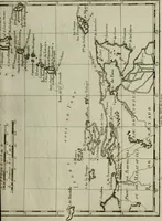
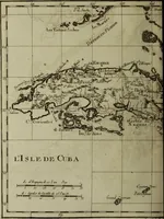
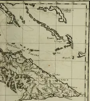
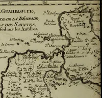
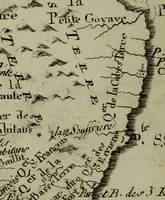
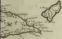
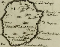
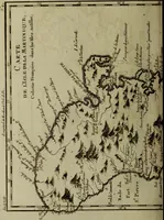
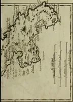
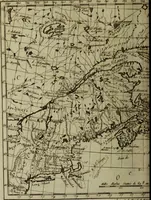
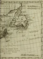
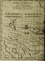
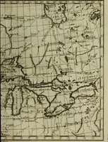
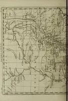
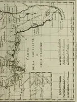
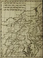
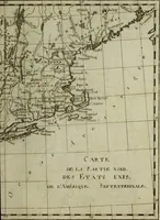
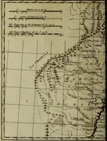
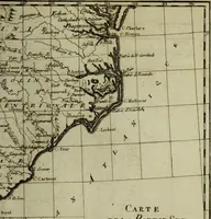
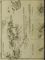
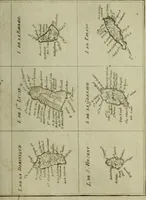
A 1780 atlas of engraved maps by the French royal hydrographer Rigobert Bonne, issued by J.-L. Pellet in Geneva as the cartographic companion to Raynal's history of European trade and colonies in the East and West Indies, for European readers of political and commercial geography. The plates are fine copperplate line engravings showing coastlines, river systems, graticules, sounding notes and dense engraved place-name lettering in French, useful for hatched shoreline textures, cartouche-free map fragments, and period italic toponymy.