England and Wales Delineated, etc
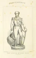
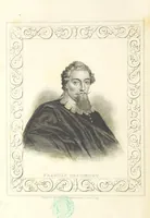
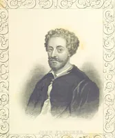
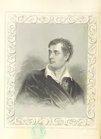
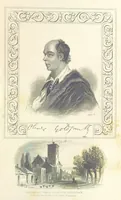
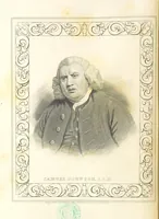
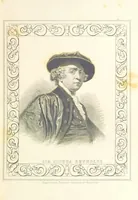
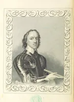
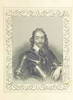
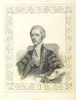
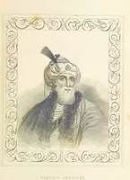
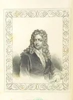
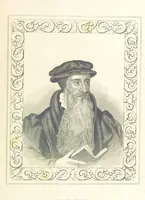
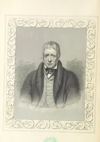
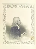
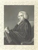
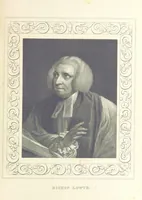
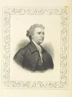
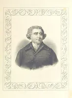
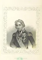
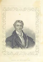
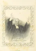
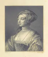
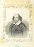
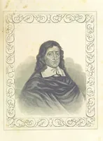
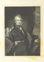
A topographical gazetteer of English and Welsh counties compiled by Thomas Dugdale and issued in parts by J. & F. Tallis in London around 1850 for middle-class subscribers. The plates are steel-engraved bust portraits of statesmen, writers and divines, each set in a ruled frame of scrolling foliate ornament, giving designers ready-made decorative borders, oval vignette shading, and period costume details such as wigs, cravats and embroidered court coats.