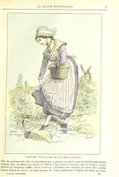
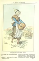
La France pittoresque, ou description par départements de la France et de ses colonies
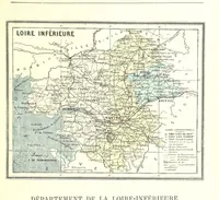
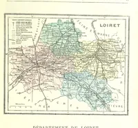
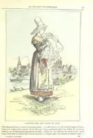
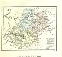
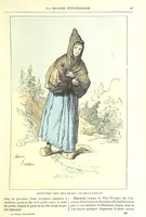
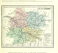
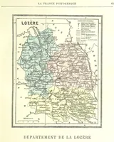
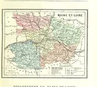
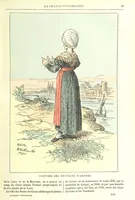
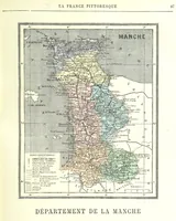
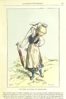
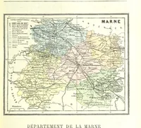
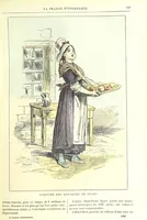
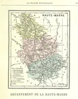
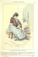
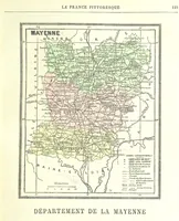
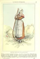
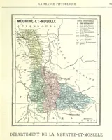
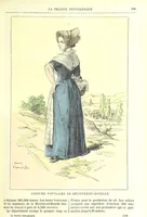
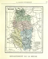
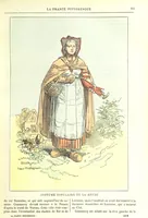
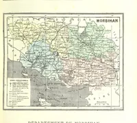
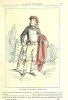
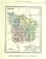
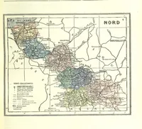
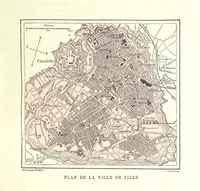
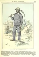
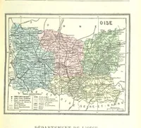
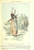
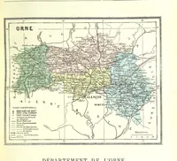
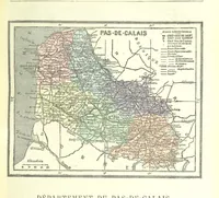
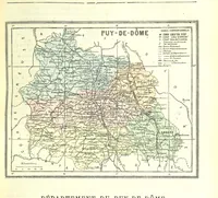
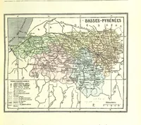
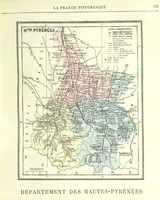
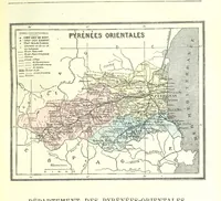
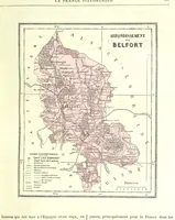
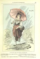
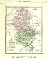
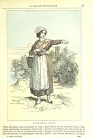
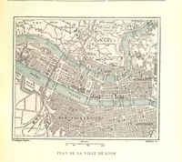
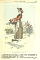
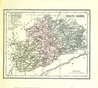
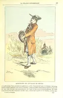
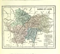
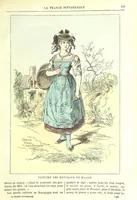
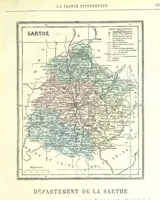
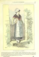
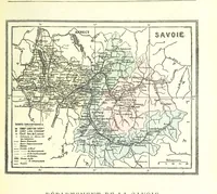
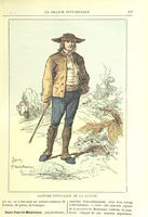
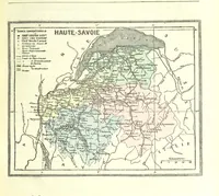
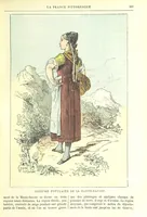
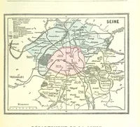
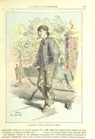
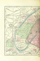
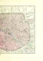
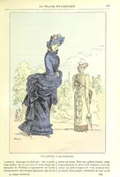
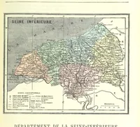
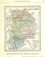
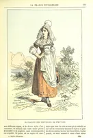
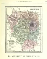
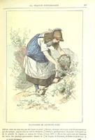
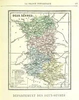
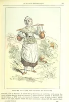
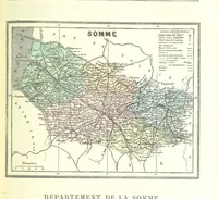
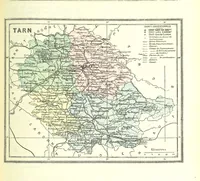
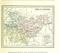
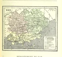
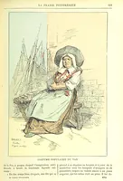
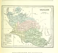
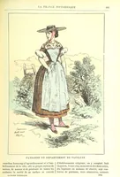
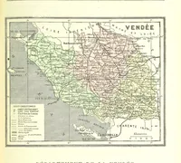
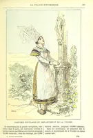
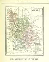
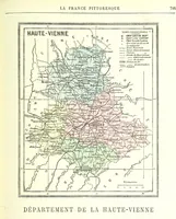
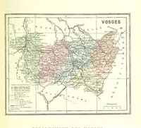
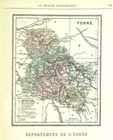
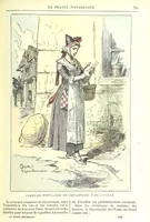
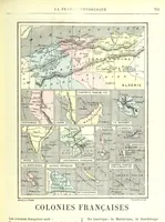
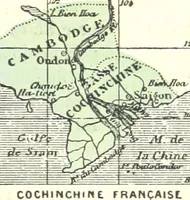
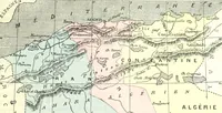
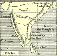
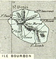
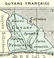
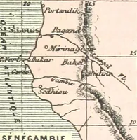
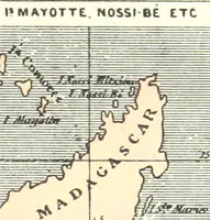
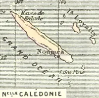
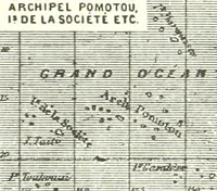
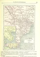
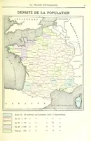
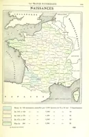
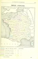
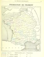
A French geographical reference of 1882, describing France department by department along with its colonies, issued for general readers and school use. The plates are small engraved departmental maps, hand-tinted in pale pink, green, blue and yellow, each ruled in a double border with a title cartouche, a key of conventional signs, a scale bar in kilometres, and dense hatched relief, river networks, road and rail lines and named communes in fine type.