Études historiques et géographiques ... Ouvrage contenant 10 cartes hors texte, etc
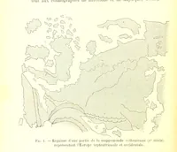
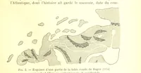
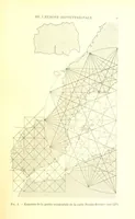
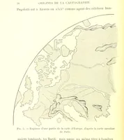
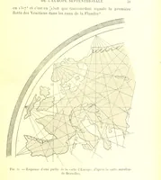
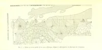
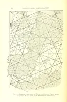
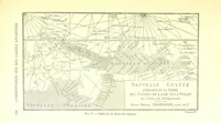
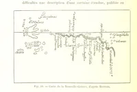
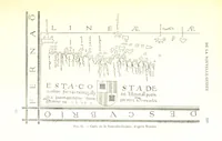
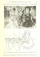
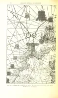
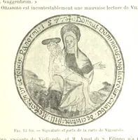
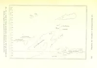
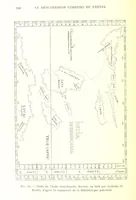
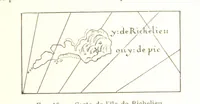
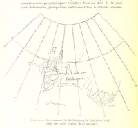
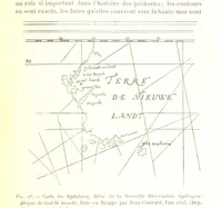
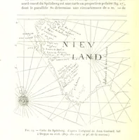
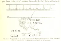
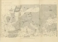
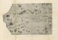
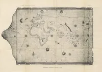
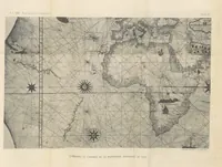
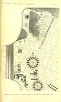
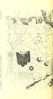
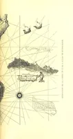
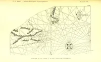
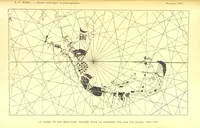
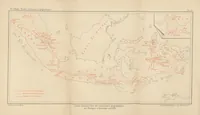
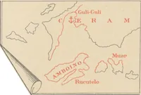
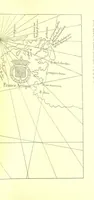
Ernest-Théodore Hamy's Études historiques et géographiques, published in Paris in 1896, collects a French ethnographer-geographer's research papers for scholars of exploration and cartography, with ten folding plates. The plates are line facsimiles of sixteenth-century portolan charts and atlas leaves, giving compass roses and radiating rhumb-line webs, stippled coastlines with island chains, heraldic shields, crosses and hand-lettered place names usable as map ornament and line-art texture.