Lehrbuch der Landkartenprojektionen
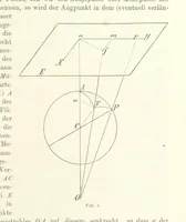
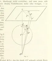
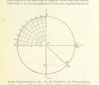
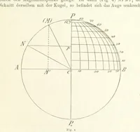
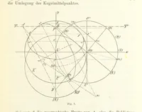
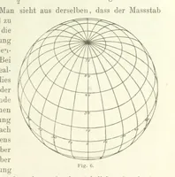
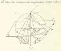
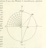
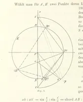
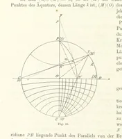
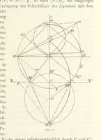
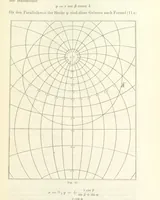
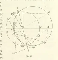
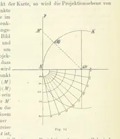
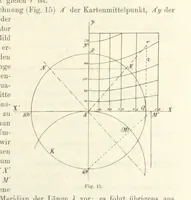
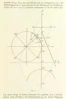
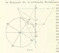
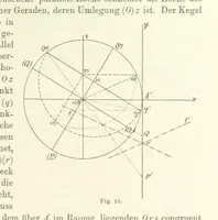
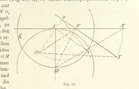
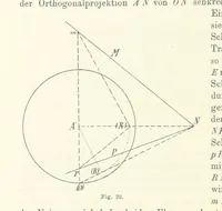
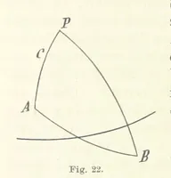
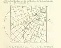
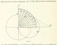
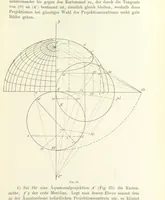
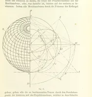
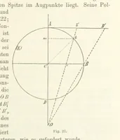
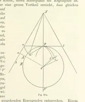
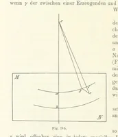
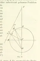
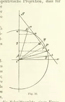
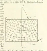
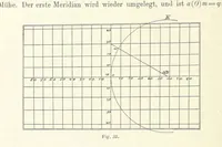
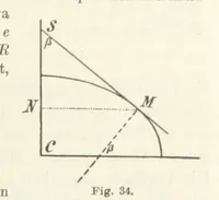
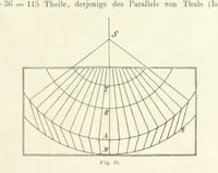
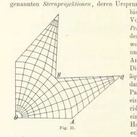
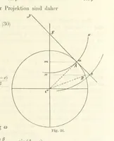
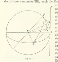
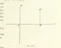
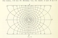
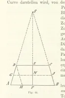
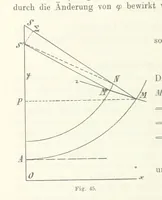
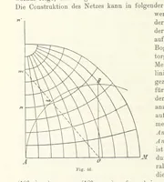
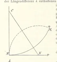
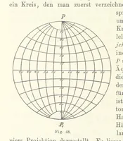
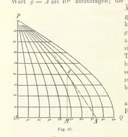
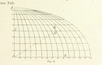
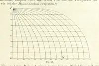
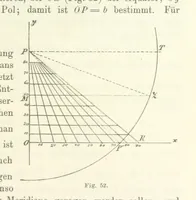
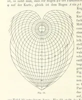
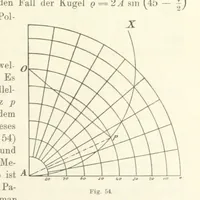
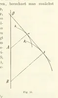
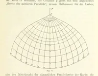
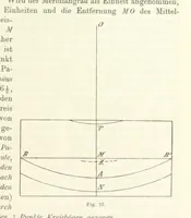
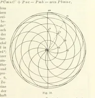
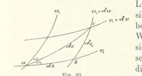
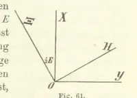
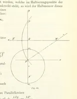
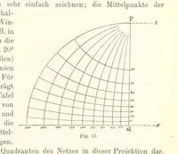
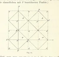
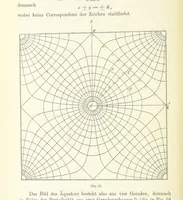
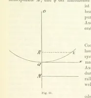
A German textbook on map projections by Norbert Herz, published in 1885 for students of geodesy, astronomy and cartography. The plates are fine-ruled geometric diagrams in black line: circles and spheres cut by tangent lines and cones, projection rays converging on eye points, and quarter-globes gridded with numbered meridians and parallels, all annotated with italic letters and numbered figure captions.