Hydrographical Surveying. A description of the means and methods employed in constructing marine charts
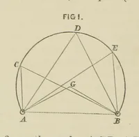
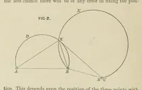
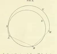
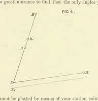
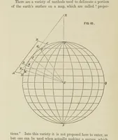
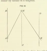
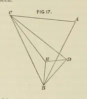
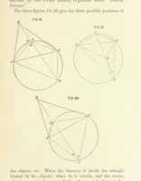
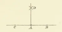
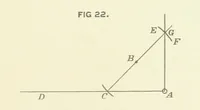
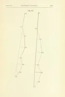
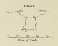
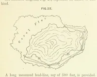
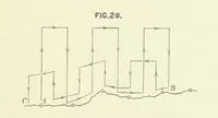
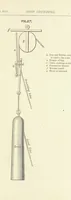
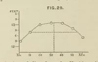
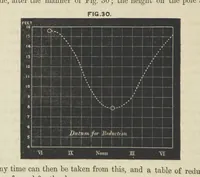
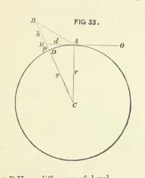
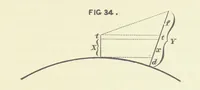
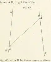
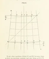
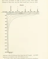
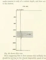
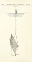
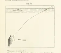
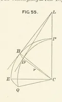
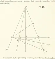
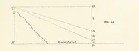
A technical manual on marine chart-making by Sir William James Lloyd Wharton, Royal Navy hydrographer, published by John Murray in London in 1882 for naval surveyors and students of navigation. The figures are numbered line diagrams in black on cream: intersecting circles, station points lettered A to X, bearing lines, angles and radii, useful as sparse geometric marks and compass-work patterns.