Proeve eener algemeene Kartografie
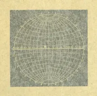
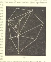
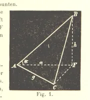
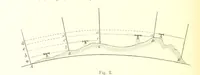
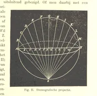
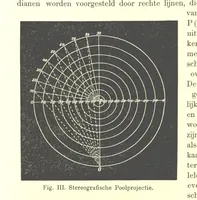
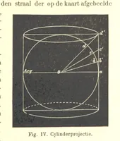
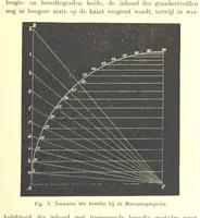
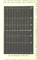
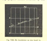
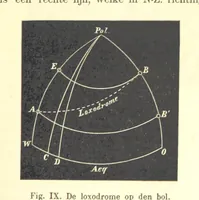
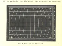
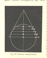
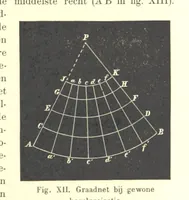
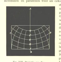
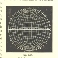
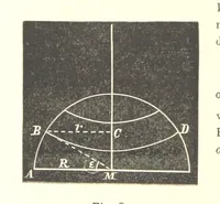
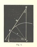
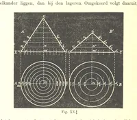
A Dutch treatise on general cartography by Henri Zondervan, published in 1898 for geographers, surveyors and mapmakers. The plates are geometric projection diagrams printed as fine white lines on solid black or stippled grounds — graticules of curved meridians and parallels, cones set over circles, labelled construction points and dashed angles — usable as high-contrast line art, grid textures and negative-space figure studies.