Climatological data, Missouri
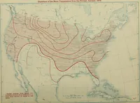
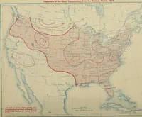
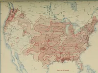
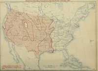
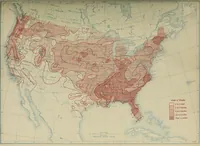
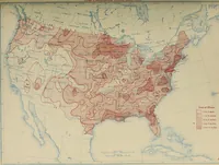
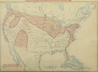
A United States Weather Bureau serial of monthly climatological data for Missouri, issued from 1897 onward for meteorologists, agricultural agents, and local record-keepers. The plates are two-color maps of the lower forty-eight states: a fine pale-blue base of coastlines, rivers, and state borders overprinted in red with closed isolines, hatched and cross-hatched zones of temperature excess or deficiency, and small numeric labels, useful as ready-made data-overlay and contour-shading patterns.