Climatological data, South Carolina
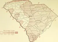
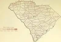
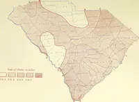
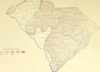
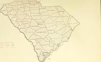
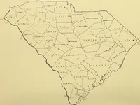
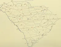
A U.S. Weather Bureau serial of monthly climatological data for South Carolina, issued from 1898 onward for farmers, shippers, and local observers tracking rainfall, temperature, and wind. The plates are county-outline state maps overprinted in red and brown with hatched and stippled rainfall zones, numbered isotherm curves, station circles, and small wind arrows, plus keyed shade-scale legends useful as ready-made data-map patterns and line work.