Climatological data, Arkansas
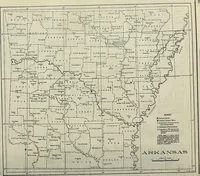
A monthly weather-data serial for Arkansas issued by the U.S. Weather Bureau and its successor agencies, compiled from 1896 onward for farmers, engineers, and government records. The single plate is a line-drawn state base map dividing Arkansas into named counties, with rivers, a legend of station symbols, and a bar scale of miles, useful as stock cartographic line work, symbol keys, and small-caps place lettering.