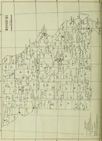
Climatological data, Missouri
A serial of monthly weather records for Missouri issued by the U.S. Weather Bureau and its successor data services, compiled for meteorologists, farmers, and state agencies from 1897 onward. The plate is a plain outline map of the state showing county borders, river lines, and clusters of dotted and circled station symbols with small place names, plus a key of observation-type marks and a bar scale \u2014 a source of county grids, station dot patterns, and utilitarian map lettering.