Climatological data, New England
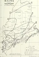
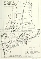
A serial of monthly climate statistics for the New England states, compiled by the U.S. Weather Bureau and its successor the Environmental Data Service and printed in Asheville, North Carolina, for meteorologists and records offices. The plates are plain line maps of Maine on an Albers equal-area projection, with county outlines, dotted climate-division borders, hand-drawn isolines over numbered zones, dense small-type station names, and a legend of symbols for precipitation, temperature and evaporation stations.