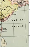
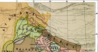
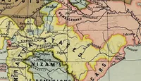
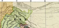
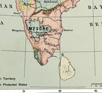
Historical atlas of India, for the use of high schools, colleges and private students
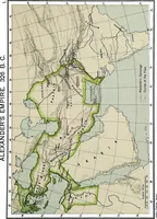
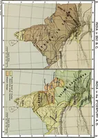
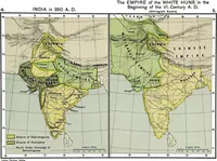
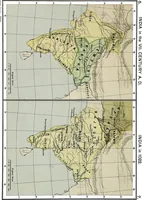
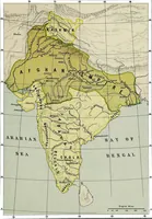
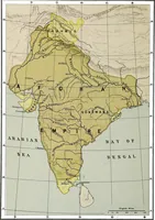
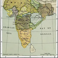
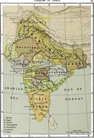
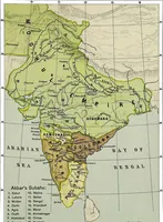
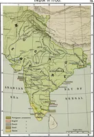
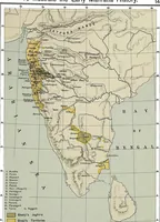
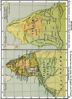
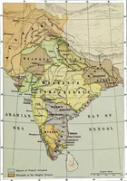
A school and college historical atlas of India compiled by Charles Joppen and published by Longmans, Green in London and New York in 1907. The 21 plates are lithographed outline maps of the subcontinent, each washed in flat olive, tan and pink tints to mark empires and provinces, with hand-lettered place names, rivers, latitude grids, mile scales and numbered keys.