Local survey and city planning proposals for Bristol, Conn.
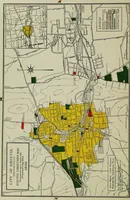
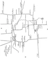
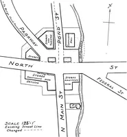
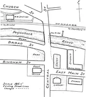
A city planning report prepared by landscape architect and planner John Nolen for Bristol, Connecticut, printed in New Britain in 1920 for the town's officials and civic committees. The plates are hand-lettered line maps of street intersections, labelled with building uses and dashed proposed street lines, plus a color zoning map in yellow, green and red with an inset key; useful for map linework, north arrows, scale notes and annotated plan lettering.