New York city building zone resolution, restricting the height and use of buildings and prescribing the minimum sizes of their yards and courts;
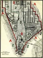
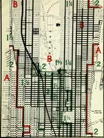
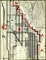
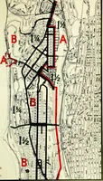
A printing of New York City's 1916 zoning resolution, issued in 1917 by the Board of Estimate and Apportionment with George B. Ford for lawyers, builders and title companies. Folding street maps of Manhattan overprint the grid with red and green district boundaries, hatched and stippled blocks, and height-ratio numerals, offering designers cartographic textures and two-colour overlay conventions.