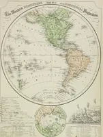
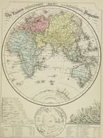
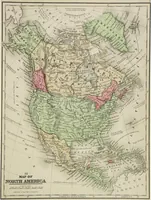
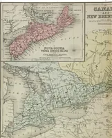
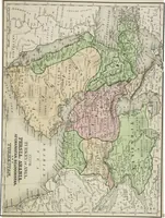
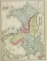
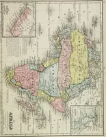
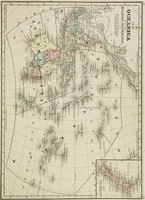
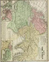
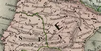
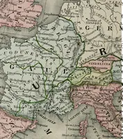
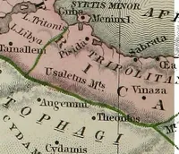
New reference atlas for the use of colleges, libraries, families, and counting houses
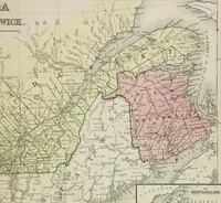
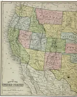
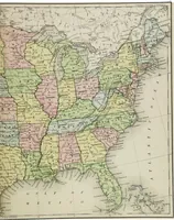
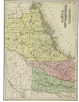
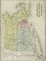
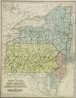
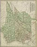
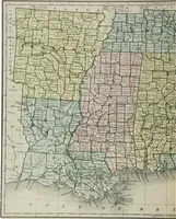
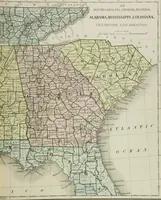
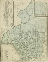
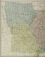
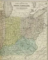
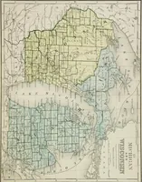
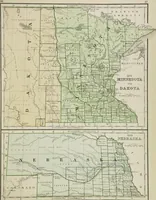
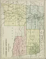
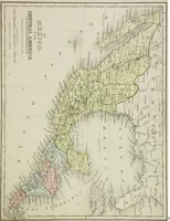
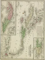
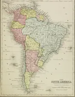
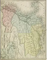
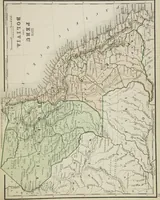
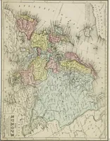
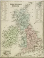
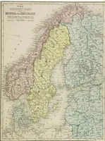
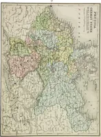
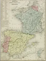
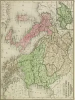
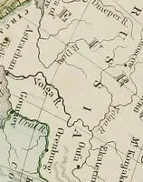
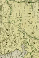
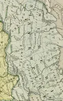
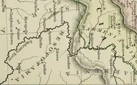
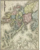
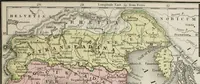
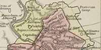
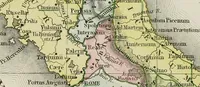
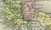
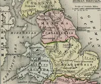
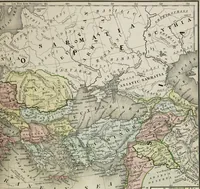
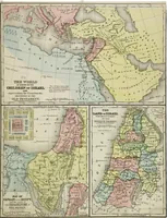
A reference atlas compiled by Samuel Augustus Mitchell and issued by E.H. Butler of Philadelphia in 1865 for colleges, libraries, families and merchants. Steel-engraved maps of continents, countries and colonial territories carry hand-applied pink, yellow and green washes along borders, hachured mountains, river networks and dense italic place-names, with inset panels and ruled plate borders useful as line-and-tint backgrounds.