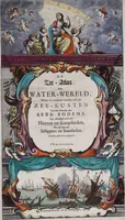
De zee-atlas ofte water-wereld : waer in vertoont werden alle de zee-kusten van het bekende des aerd-bodems : seer dienstigh voor alle heeren en kooplieden, als oock voor alle schippers en stuurlieden
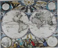
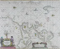
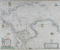
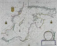
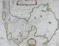
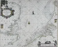
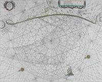
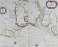
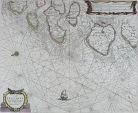
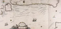
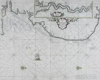
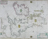
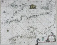
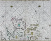
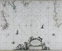
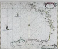
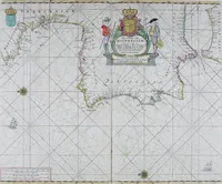
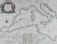
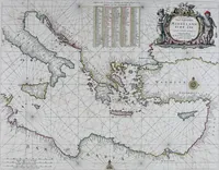
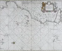
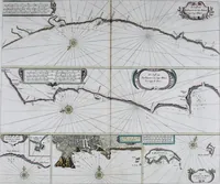
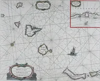
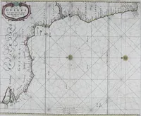
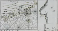
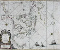
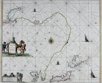
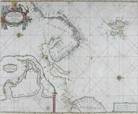
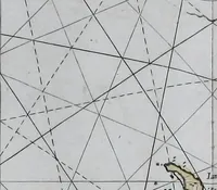
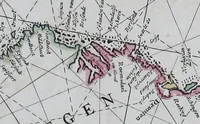
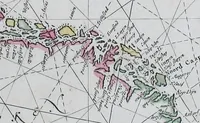
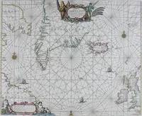
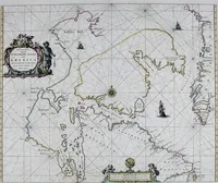
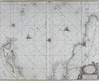
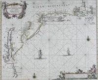
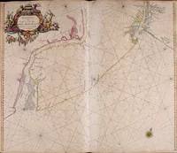
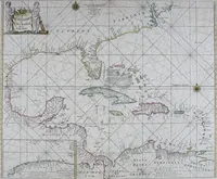
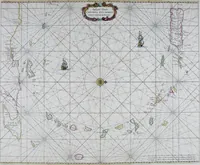
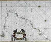
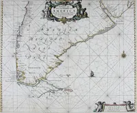
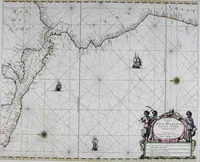
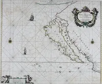
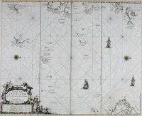
A Dutch sea atlas engraved and published by Pieter Goos in Amsterdam in 1672, sold to merchants, shipmasters and pilots as working navigational charts. The 45 plates combine hand-coloured coastlines and soundings with dense rhumb-line webs, multiple compass roses, sailing ships, and cartouches held by mermaids, tritons and putti — useful for line texture, ornamental frames and maritime figure work.