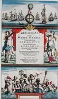
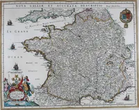
De zee-atlas of Water-waerelt, vertoonende alle de zee-kusten van het bekende des aerd-bodems, met een generale beschrijvinge van dien : seer dienstigh voor schippers en stuurlieden, mitsgaders koop-lieden om op 't kantoor gebruyckt te worden : Nieuwelijcks aldus uytgegeven
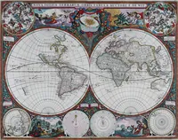
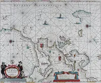
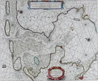
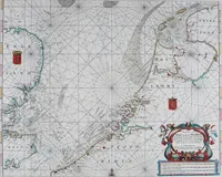
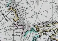
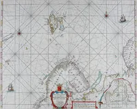
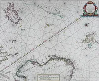
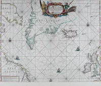
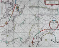
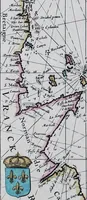
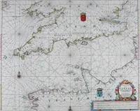
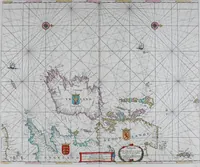
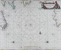
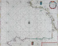
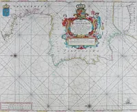
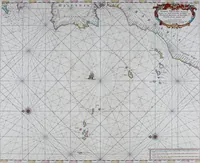
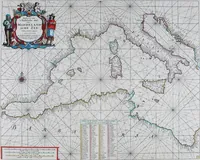
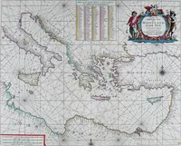
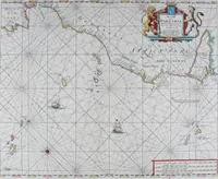
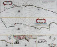
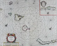
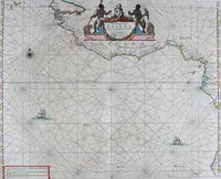
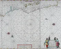
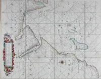
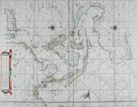
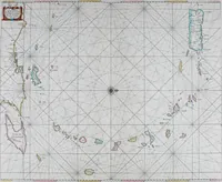
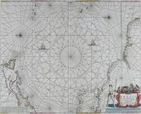
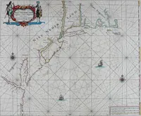
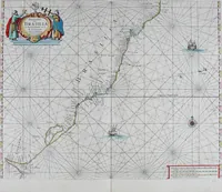
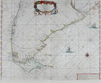
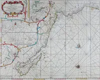
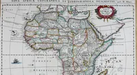
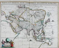
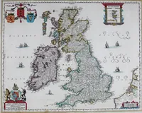
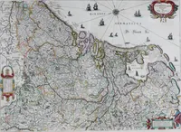
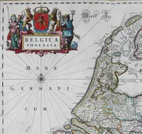
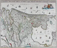
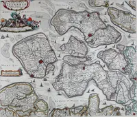
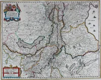
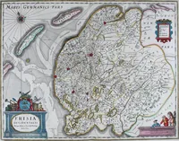
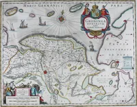
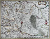
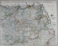
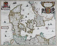
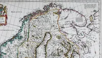
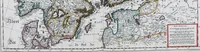
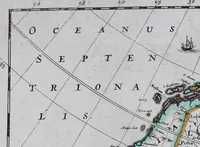
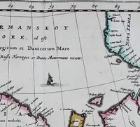
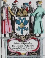
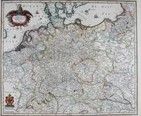
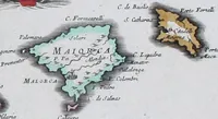
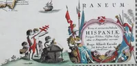
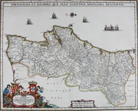
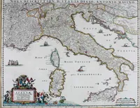
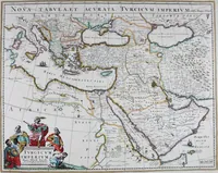
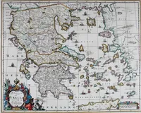
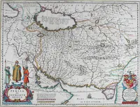
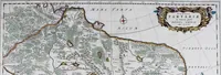
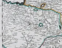
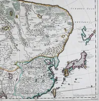
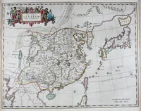
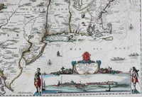
A Dutch sea atlas engraved and published by Hendrick Doncker in Amsterdam in 1665, sold to skippers, steersmen and merchants for use aboard ship and in the counting house. The 77 copperplate charts cover coasts from Friesland and Iceland to Barbary, each webbed with rhumb lines radiating from compass roses, with hand-coloured coastlines, sounding figures, tiny profile ships, and strapwork title cartouches carrying lions, shields and letterpress notes.