Early Indiana trails and surveys
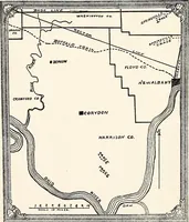
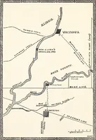
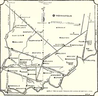
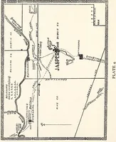
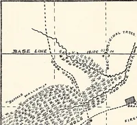
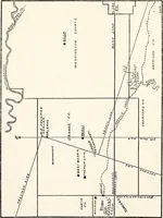
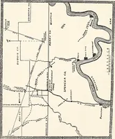
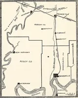
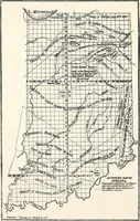
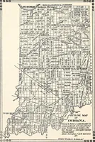
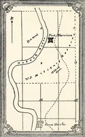
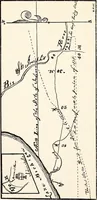
A 1919 monograph by George R. Wilson, printed in Indianapolis for Indiana historical society readers, tracing Indian trails, early roads and survey lines across the southern counties. The plates are simple pen-drawn county maps with hand-lettered place names, dashed trail routes, hatched river channels, base and meridian lines, and small bar scales—useful for line-drawn cartographic texture and lettering.