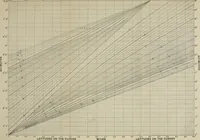
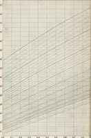
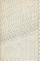
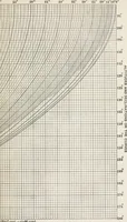
Ex meridian altitude, azimuth and star-finding tables; with diagrams for finding the latitude and facilitating plotting lines of position, and giving new and practical methods for identifying stars in cloudy weather, latitudes 0-65: declinations 0-71 north and south
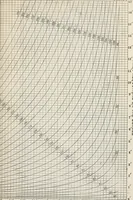
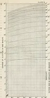
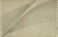
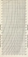
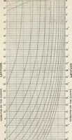
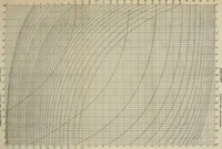
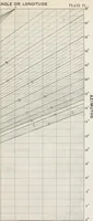
A navigation manual of ex-meridian altitude, azimuth and star-finding tables compiled by Armistead Rust and published by John Wiley & Sons in New York in 1908, made for ships' officers working out latitude and lines of position at sea. The plates are engraved nomograms: dense rectangular grids overlaid with fans of curves and straight sight lines, numbered along all four edges, offering ready-made fields of hairline ruling, curve sheaves and small type scales.