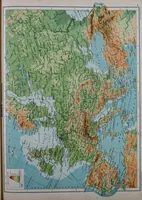
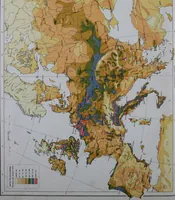
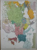
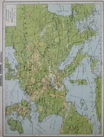
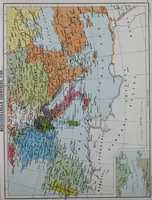
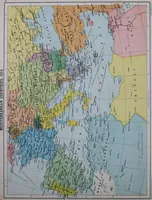
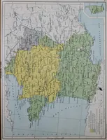
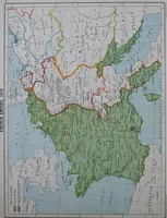
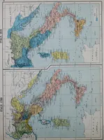
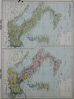
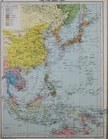
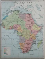
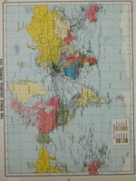
An historical atlas of modern Europe from 1789-1914, with an historical and explanatory text
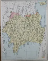
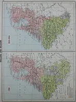
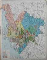
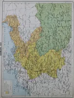
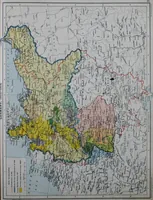
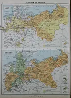
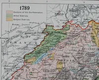
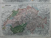
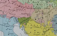
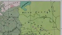
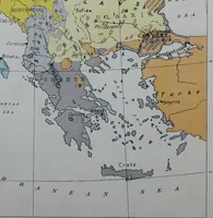
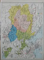
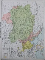
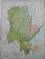
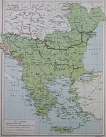
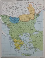
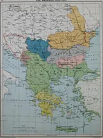
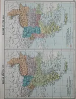
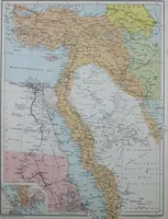
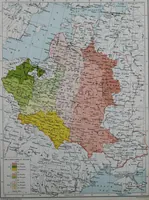
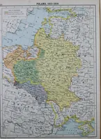
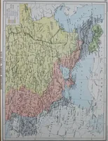
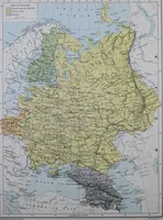
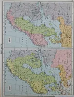
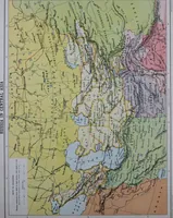
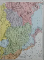
A historical atlas of Europe from 1789 to 1914, compiled by Charles Grant Robertson with maps by the Edinburgh cartographer J. G. Bartholomew and issued by Oxford University Press in 1915 for students of history. The plates are lithographed political and ethnographic maps in flat pastel fills with hachured coastlines, engraved place names, inset panels and ruled graticules.