Manual of surveying instructions for the survey of the public lands of the United States and private land claims
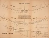
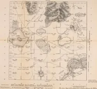
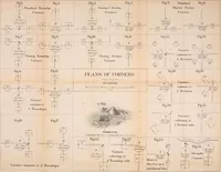
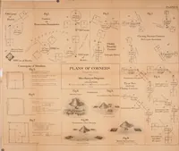
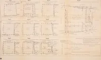
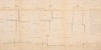
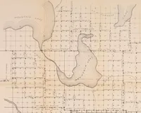
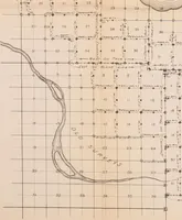
A field manual issued by the U.S. General Land Office in Washington in 1894, setting out the rules and arithmetic for running township lines over the public domain for government surveyors and deputy contractors. The plates are folding lithographed diagrams and specimen township plats: rectangular section grids numbered 1 to 36, chain-and-link figures for closing corners and offsets, hachured hills, dotted lake margins and meander lines of rivers, all in black with red or brown accents on toned paper.