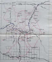
The methods used in primary level and triangulation work in unsettled and broken country
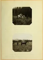
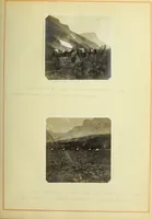
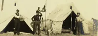
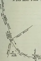
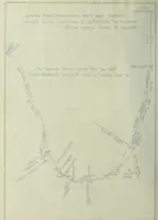
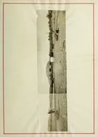
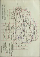
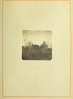
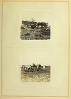
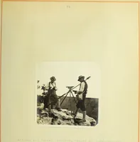
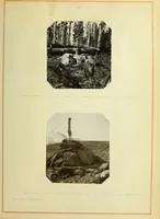
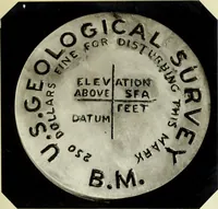
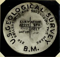
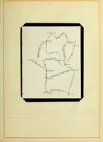
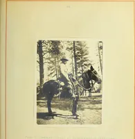
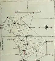
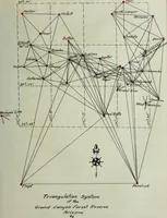
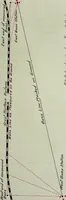
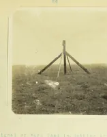
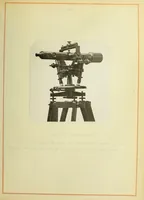
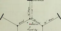
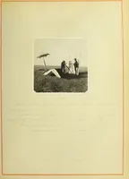
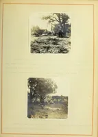
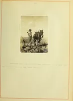
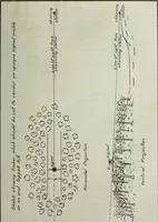
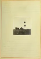
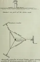
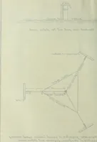
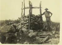
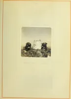
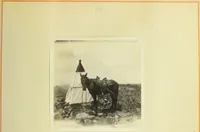
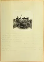
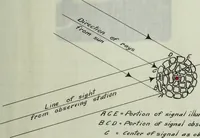
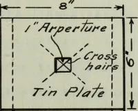
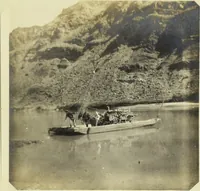
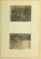
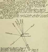
A 1909 civil engineering thesis by John Truesdale Stewart at the University of Illinois, documenting primary leveling and triangulation methods in unsettled, broken country. Pages pair hand-inked route and station sketch maps with mounted albumen-toned photographs of surveyors, tripods, and signal flags on open plains, offering cartographic line work, annotated survey lettering, and wide horizon panoramas.