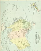
Modern school geography and atlas
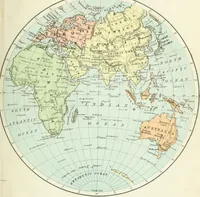
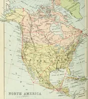
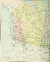
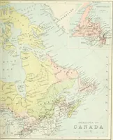
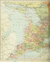
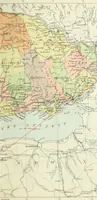
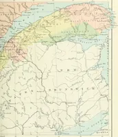
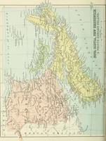
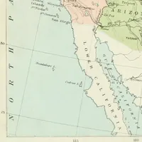
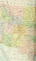
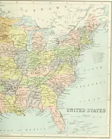
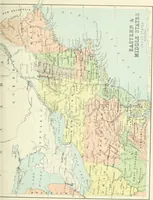
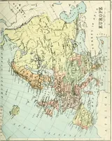
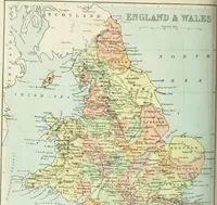
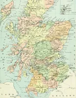
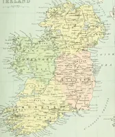
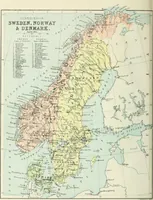
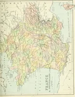
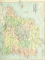
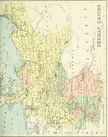
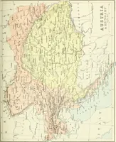
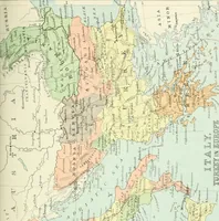
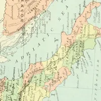
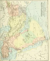
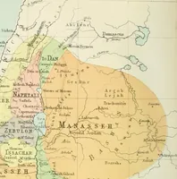
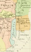
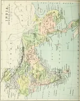
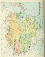
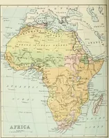
A school geography textbook with bound atlas, issued by the Canada Publishing Company in Toronto in 1880 for Canadian classroom use. The 34 plates are lithographed political maps in flat pastel washes — pink, yellow, green, blue — with engraved coastlines, river networks, hachured relief and small capitalised place names, useful as colour fields, linework, and period map lettering.