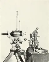
Principal facts of the earth's magnetism and methods of determining the true meridian and the magnetic declination. Reprinted from the United States magnetic declination tables and isogonic charts for 1902
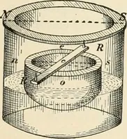
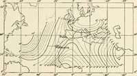
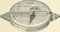
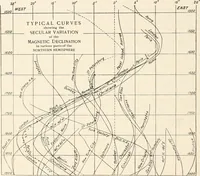
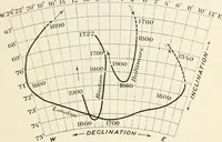
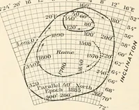
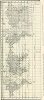
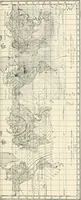
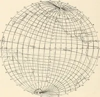
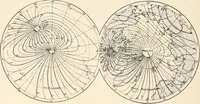
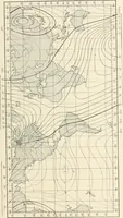
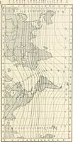
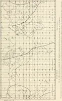
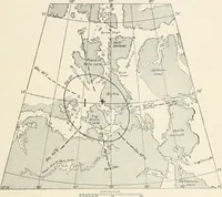
A government technical handbook on terrestrial magnetism and surveying, issued by the U.S. Coast and Geodetic Survey and printed by the Government Printing Office in Washington in 1909 for surveyors and navigators. The plates are engraved world and Atlantic maps overlaid with dense isogonic curves, agonic lines, latitude-longitude grids and small figures for magnetic instruments, offering designers flowing contour linework, sparse stippled coastlines and ruled graph fields.