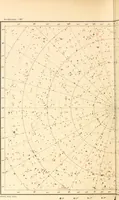
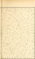
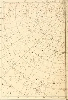
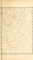
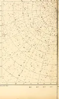
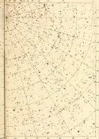
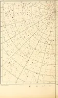
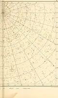
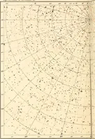
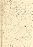
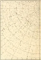
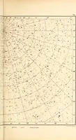
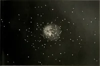
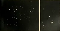
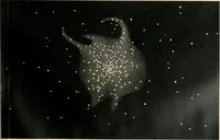
Star atlas containing maps of all the stars from 1 to 6.5 magnitude between the North Pole and 34 south declination, and of all nebulae and star clusters in the same region which are visible in telescopes of moderate powers. With explanatory text by H.J. Klein. Translated by Edmond McClure
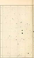
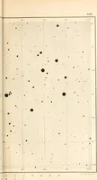
A working star atlas by German astronomer Hermann Joseph Klein, translated by Edmond McClure and published in London by the Society for Promoting Christian Knowledge in 1901, mapping stars to magnitude 6.5 plus nebulae and clusters for amateur observers with small telescopes. The plates are engraved grids of curved right-ascension and declination lines strewn with graded black dots and red overprinted symbols, offering ready-made constellation fields, coordinate lattices, and dense point textures for backgrounds, endpapers, and pattern work.