Inside Out Library · Explore

Chorographia Britanniae, or, A new set of maps of all the counties in England and Wales : to which are prefix'd the following general maps, viz. I. An Accurate Chart of the Sea Coast, exhibiting all the Royal Docks, Fortifications, Harbours, Sands &c,. II. A Map of England and Wales, as divided into Counties, with the Names of the Cities and County Towns; and the Length, Breadth, and Superficial Content of the Whole, and each County seperately. III. A Map of the great Roads from London, to all parts of South Britain; with tables showing the distance of each City and Town upon the Road, from the Metropolis, both in Computed and Measured Miles. IV. A Map of all the Cross Roads, from one great Town to another, with the distances from Town to Town, both by Computation and Measure (1742)

Badeslade, Thomas, Toms, William Henry · Sold by J. Clark Bookseller · leaf 33

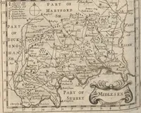
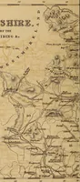
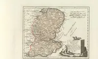
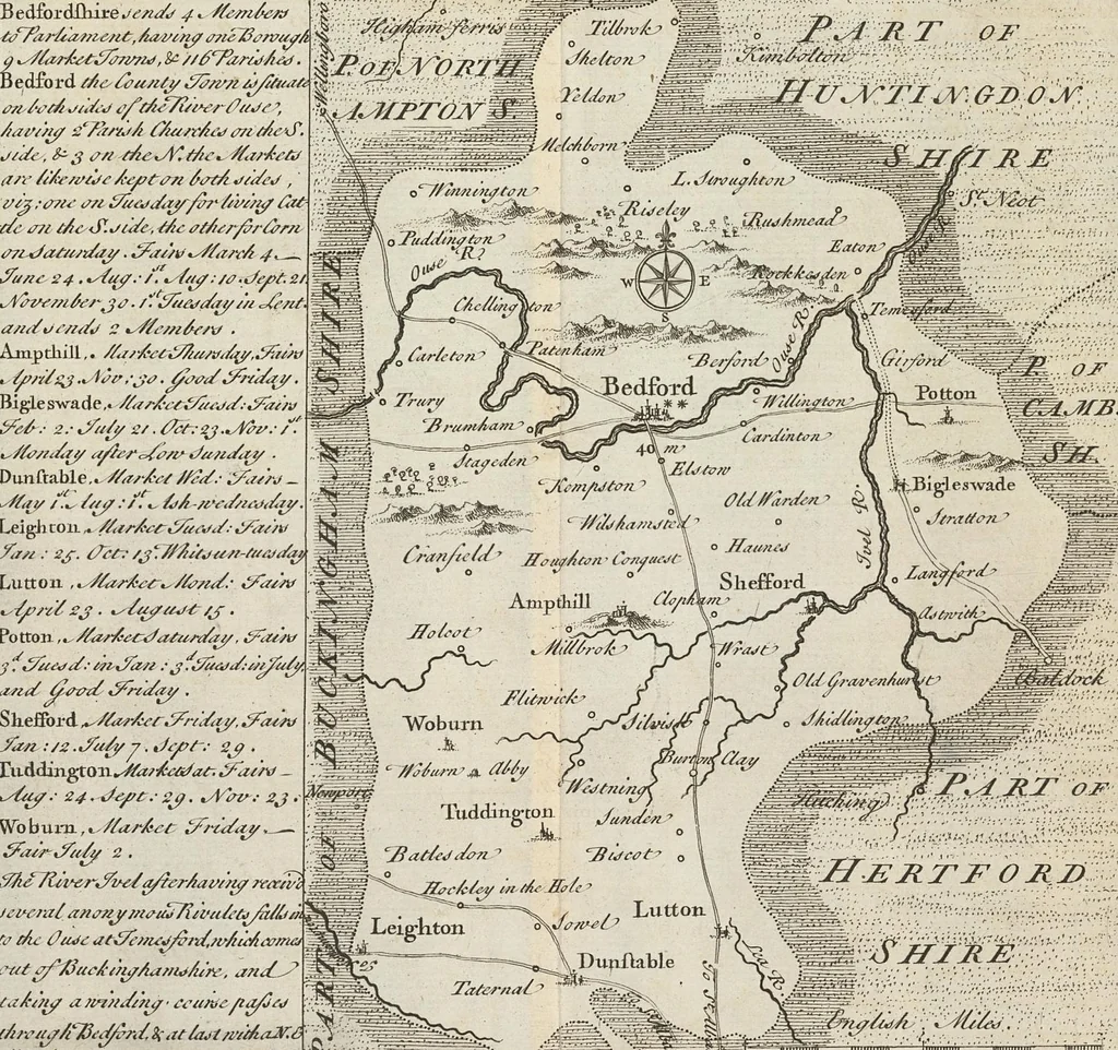
An illustration from Chorographia Britanniae, or, A new set of maps of all the counties in England and Wales : to which are prefix'd the following general maps, viz. I. An Accurate Chart of the Sea Coast, exhibiting all the Royal Docks, Fortifications, Harbours, Sands &c,. II. A Map of England and Wales, as divided into Counties, with the Names of the Cities and County Towns; and the Length, Breadth, and Superficial Content of the Whole, and each County seperately. III. A Map of the great Roads from London, to all parts of South Britain; with tables showing the distance of each City and Town upon the Road, from the Metropolis, both in Computed and Measured Miles. IV. A Map of all the Cross Roads, from one great Town to another, with the distances from Town to Town, both by Computation and Measure, 1742, leaf 33

e-rara · ZB Zürich · No known copyright restrictions. Free to use for anything.
More pictures from Chorographia Britanniae, or, A new set of maps of all the counties in England and Wales : to which are prefix'd the following general maps, viz. I. An Accurate Chart of the Sea Coast, exhibiting all the Royal Docks, Fortifications, Harbours, Sands &c,. II. A Map of England and Wales, as divided into Counties, with the Names of the Cities and County Towns; and the Length, Breadth, and Superficial Content of the Whole, and each County seperately. III. A Map of the great Roads from London, to all parts of South Britain; with tables showing the distance of each City and Town upon the Road, from the Metropolis, both in Computed and Measured Miles. IV. A Map of all the Cross Roads, from one great Town to another, with the distances from Town to Town, both by Computation and Measure

More like this