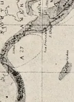
The western pilot : containing charts of the Ohio River, and of the Mississippi, from the mouth of the Missouri to the Gulf of Mexico ; accompanied with directions for navigating the same, and a gazetteer ; or description of the towns on their banks, tributary streams, etc., also, a variety of matter interesting to travelers, and all concerned in the navigation of those rivers ; with a table of distances from town to town on all the above rivers (1847)
Cumings, Samuel, Ross, Charles Derek, Klinefelter, John · Cincinnati : George Conclin · leaf 109
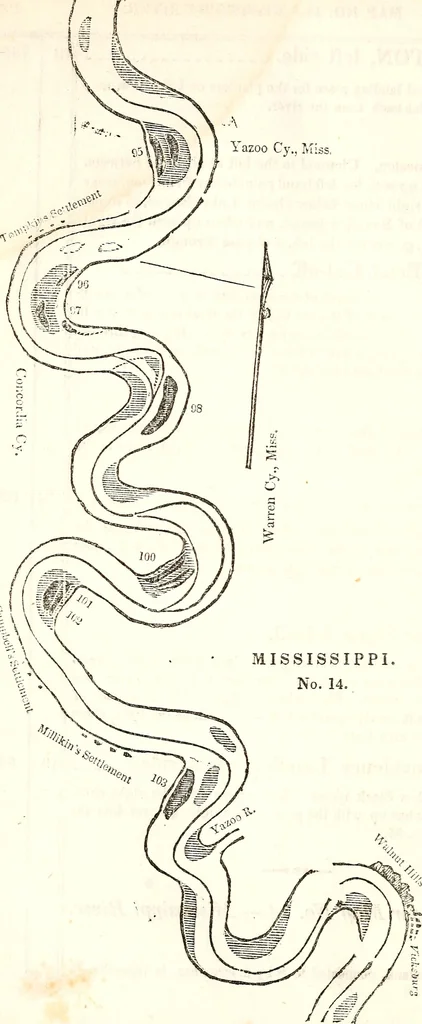
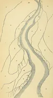
92, Lies near the middle of the river, about two miles below the foot ofthe cut-off island. Channel to the right, and middling close to thehead of the island. No. 93, Lies near the middle of the river. Channel to the left, and near theleft shore for three miles down Stack island reach. Below the… … MAP NO. U.—MISSISSIPPI RIVER. 109 below a right hand point. Channel to the left. The chute to theright of No. 95, although very narrow, may be taken with safety, byhugging very close to the right hand point above. Tompkins Settlement, right side. There is a middle bar a little above Tompkins…
Inland navigation
Internet Archive Book Images · University of Pittsburgh Library System · No known copyright restrictions (public domain). Free to use for anything.