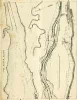
The western pilot : containing charts of the Ohio River, and of the Mississippi, from the mouth of the Missouri to the Gulf of Mexico ; accompanied with directions for navigating the same, and a gazetteer ; or description of the towns on their banks, tributary streams, etc., also, a variety of matter interesting to travelers, and all concerned in the navigation of those rivers ; with a table of distances from town to town on all the above rivers (1847)
Cumings, Samuel, Ross, Charles Derek, Klinefelter, John · Cincinnati : George Conclin · leaf 41
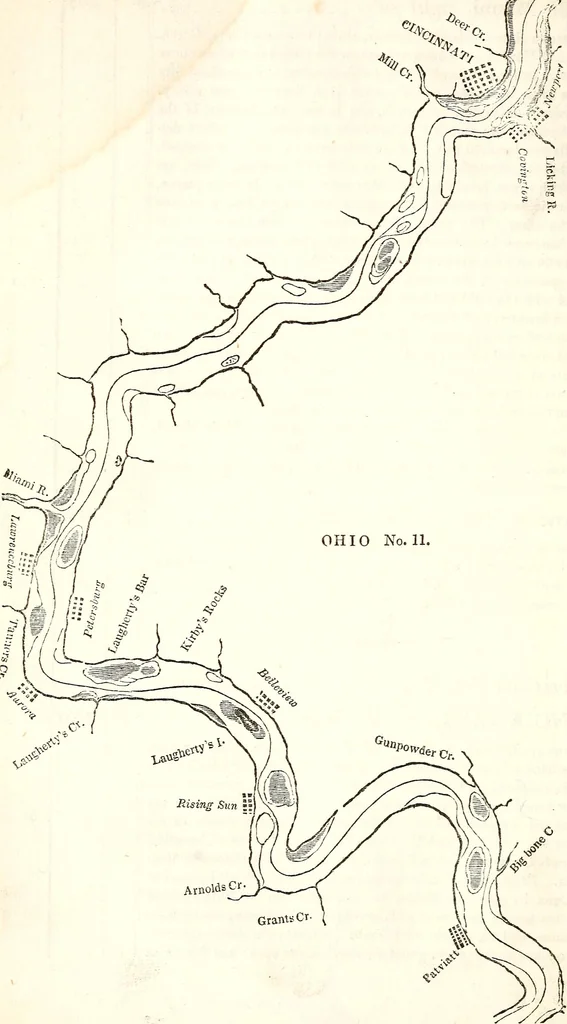
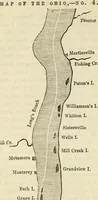
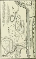
ar the right shore, to avoid a large bar onhe left, commencing a little below Crawfish creek. Directions for Map No, 11.— Ohio Rimr,CINCINNATI, on the right CmciNXATi, the largest city of the west, except New Orleans, standsipon the bank of the Ohio, directly opposite the mouih of Licking riv-It is… … MAP NO. 11—OHIO RIVER. 41 command a more beautiful and picturesque panorama-view orpleasing and animating objects. The streets of the city occupy the whole of the first bank, called the Bottom, and extend back upon the second bank, called • theHill.* The second bank is elevated fifty o-r sixty feet…
Inland navigation
Internet Archive Book Images · University of Pittsburgh Library System · No known copyright restrictions (public domain). Free to use for anything.