Range Image Processing for Local Navigation of an Autonomous Land Vehicle (1986)
Defense Technical Information Center · leaf 113
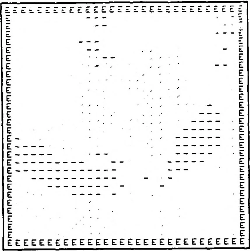
M Clean Terrain Figure 7. c. $ Slope limit = 2 Curv threshold = 0.2 <1 EEEEEEEEEEEEEEEEEEEEEEEEEEEEEE E E E E E E E E E E E E • E E E E • - E E E E E E - - E E P E E E E * Noisy Terrain Figure 7. d. Slope limit = 2C Curv threshold = 0.2
Poulos,Dennis D · Naval postgraduate school monterey ca · Image processing · Navigation · Artificial intelligence · Range finding · Digital computers · Lunar surface vehicles · Algorithms · Computerized simulation · Theses · Terrain · Laser beams · Classification · Optical scanning · Space stations
Internet Archive · Defense Technical Information Center · Public domain (US government work). Free to use for anything.