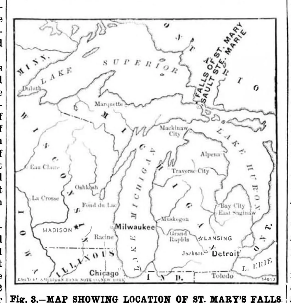
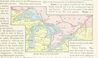
was nearly nor- In 1853 the State of Michigan accepted the land grant, mal to the direction of the current in the river, which protectedfrom injury by vessels. A guard gate is placed and soon afterward made a contract with a private is quite rapid here. This rendered the entrance diffi- at each end… … feet at mean stage of water. The locks, located near and concrete extends across the bottom of the lock and Fig. 83-MAP SHOWING LOCATION OF ST. MARY’S FALLS. 5 feet under each wall; the rest of the wall foundation the foot of the canal, were two in number (now known is concrete, one-half to 2 feet…
Internet Archive · Public domain (published before 1931). Free to use for anything.