Middleton, Edgar Charles, 1894- [from old catalog] · New York, C. Scribner's sons · leaf 27
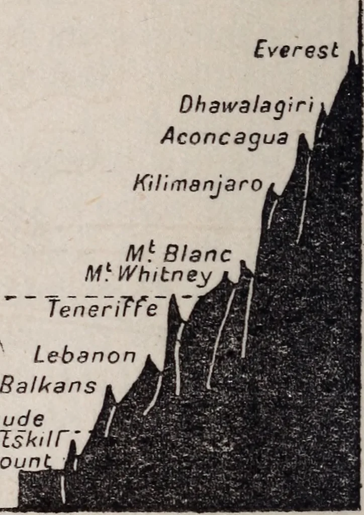
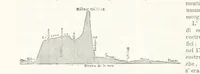
Altitude 10,0005,000 Lowest JVjr AltitudeCaTskTable Mo< EifTel Tower … FIG. A COMPARISON OF FLYING HEIGHTS lines on the earths surface would be representedby straight lines on the chart. And angles on theearths surface would be equal to the correspondingangles on the chart. The only markings would becontour, roads, railways, rivers, and towns. A map of London on this…
Aeronautics · Aeronautics, Military
Internet Archive · Library of Congress · Public Domain Mark 1.0. Free to use for anything.