Worthen, William Ezra, 1819-1897, [from old catalog] ed · New York, Appleton · leaf 123
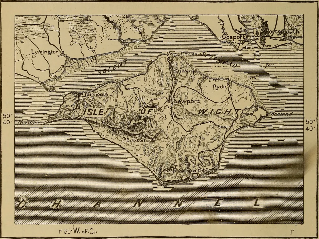
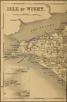
f equal depths. 106 TOPOGRAPHICAL DRAWING. An effective way of making a marine chart is to express the different depthsby lines varying in direction, distance apart, width, etc. Fig. 237 is a chart ofthe Isle of Wight and the surrounding water, with the depths .expressed asshown at the bottom of… … Depth under 5 Fathoms. 5 to 10 Fathoms. 10 to 20 Fathoms. Over 20 Fathoms. 5 Miles. Fig. 237. them apart by a difference in colour and variety of line, the changes that takeplace in the bottom of the river, and the erosion of the banks, are boldly shown. In a geological profile the different rocks…
Mechanical drawing
Internet Archive · Library of Congress · Public Domain Mark 1.0. Free to use for anything.