The Clyde from its source to the sea, its development as a navigable river, the rise and progress of marine engineering and shipbuilding on its banks, and the leading historical, geological, and meteorological features of the Clyde Valley (1888)
Millar, W. J · London, Blackie · leaf 34
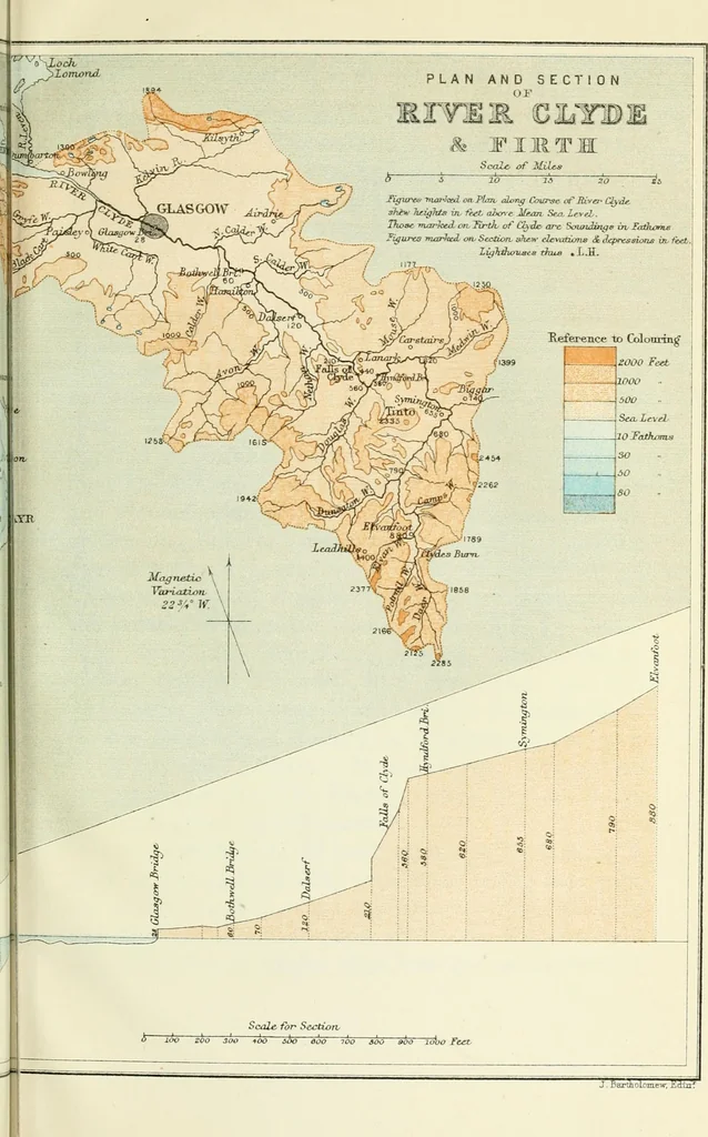
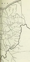
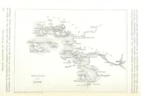
J. BartholDniew, liiiln. TOPOGRAPHICAL AND TRIBUTARIES, ETC. 17 and north-west by the counties of Stirling, Dumbarton,and Kenfrew; on the north-east by Edinburgh and Lin-lithgow; on the east by Peebles; on the south by Dum-fries; and on the south-west and west by Ayrshire. Itis situated between 55°…
Steam-navigation · Clyde River (Scotland)
Internet Archive · University of Toronto, Robarts Library · Public Domain Mark 1.0. Free to use for anything.
![An illustration from Histoire des insectes nuisibles à la vigne : et particulièrement de la pyrale qui dévaste les vignobles des départments de la Cote-d'Or ... [etc.]; avec l'indication des moyens qu'on doit employer pour la combattre / par Victor Audouin. (1842)](https://img.insideoutlibrary.com/img/200/wellcome-wellcome_b28738731-173-1.webp)