The Clyde from its source to the sea, its development as a navigable river, the rise and progress of marine engineering and shipbuilding on its banks, and the leading historical, geological, and meteorological features of the Clyde Valley (1888)
Millar, W. J · London, Blackie · leaf 41
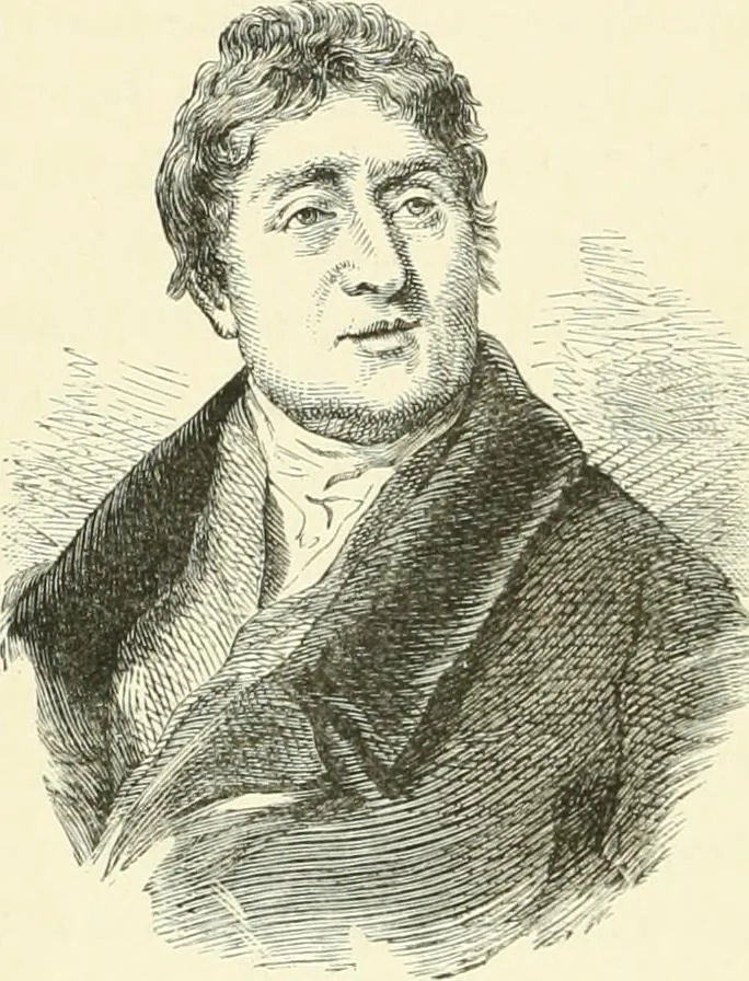
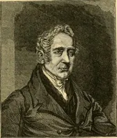
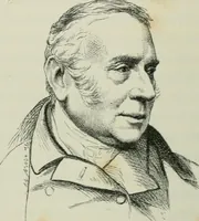
p ravines byseveral lofty bridges, themost formidable ofwhich was that across the Mouse Water at Cartland Crags,about a mile to the west of Lanark. The stream hereflows through a deep rocky chasm, the sides of which arein some places about 400 feet high. At a point wherethe height of the rocks is… … Thomas Telford. TOPOGRAPHICAL AND TRIBUTARIES, ETC. 23 (famous for its gas-coal), and not far from its junc-tion passes through a rocky gorge, on the top of whichstands the ruins of Craignethan Castle, believed to be theprototype of the Castle of Tillietudlem in Old Mortality-A considerable extent…
Steam-navigation · Clyde River (Scotland)
Internet Archive · University of Toronto, Robarts Library · Public Domain Mark 1.0. Free to use for anything.