Elements of surveying and navigation : with a description of the instruments and the necessary tables (1847)
Davies, Charles, 1798-1876 · New York : A.S. Barnes & Co. · leaf 142
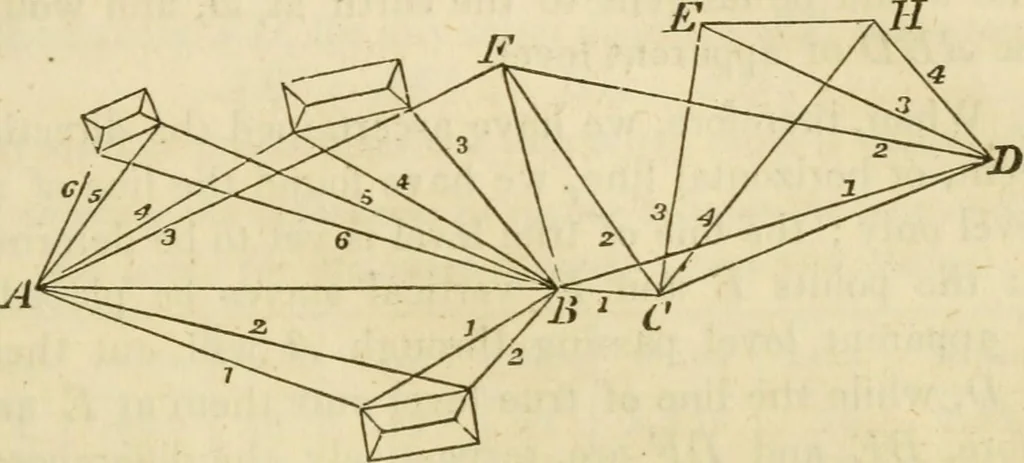
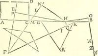
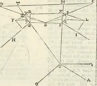
cales are used, the corresponding pointswill not join, and then the work must be reduced to the samescale, before the papers can be put together. In the first example, the position of the point F was deter-mined, in order to unite the first paper with the second. In the second example, we sighted… … In this plan, all the points and lines are accurately laiddown. Any number of papers may be joined in the samemanner. The plain-table is used to great advantage when only aplot of the ground is wanted. It ought not to be used forthe determination of long lines, nor can it be relied on indetermining…
Surveying · Navigation
Internet Archive · UMass Dartmouth, Claire T. Carney Library · Public Domain Mark 1.0. Free to use for anything.