Elements of surveying and navigation : with a description of the instruments and the necessary tables (1847)
Davies, Charles, 1798-1876 · New York : A.S. Barnes & Co. · leaf 169
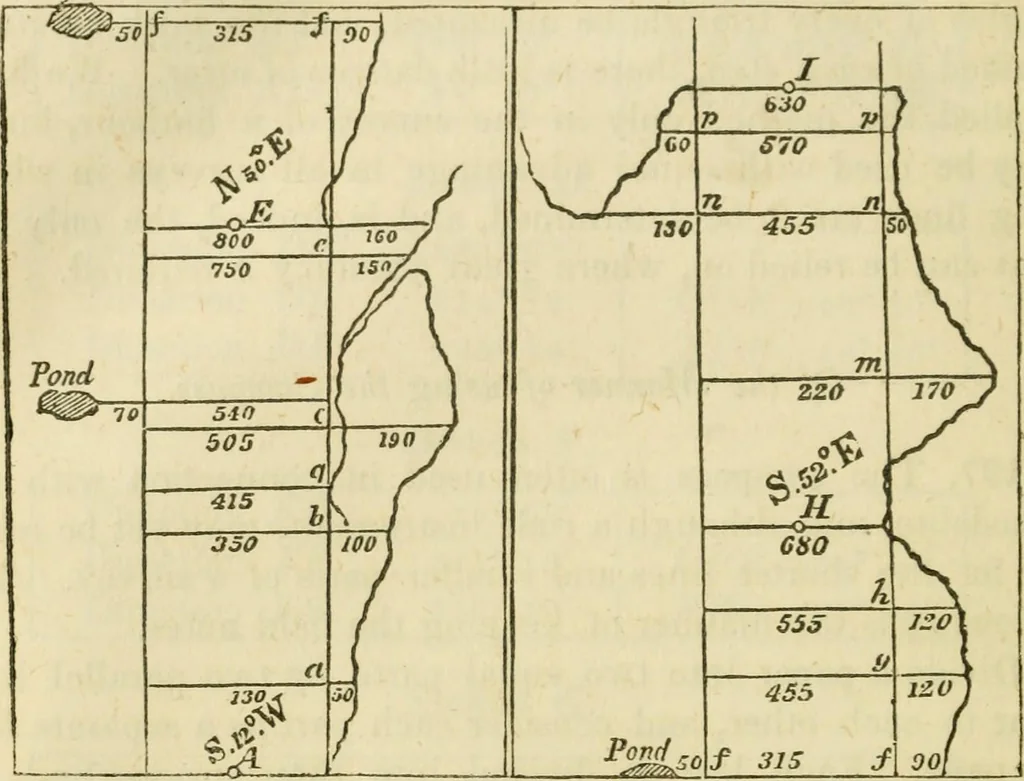
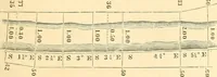
^ the manner of using the compass on the field, let us suppose that we have determined,with the theodolite, the prominent parts of the harbour. Placethe compass at .^ (Plate 6), and take the bearing of the line^E, which is S 12° W. … Enter this bearing at A. Then measure along the lineAE any distance, as Aa equal to 130 yards, and make anofiset to the lake, which we measure and find to be 50 yards.Enter the 130 in the middle column, and as the lake lies onthe right (in going from A to E), we insert the 50 in theright hand…
Surveying · Navigation
Internet Archive · UMass Dartmouth, Claire T. Carney Library · Public Domain Mark 1.0. Free to use for anything.