Davies, Charles, 1798-1876 · New York, Cincinnati [etc.] American book company · leaf 316
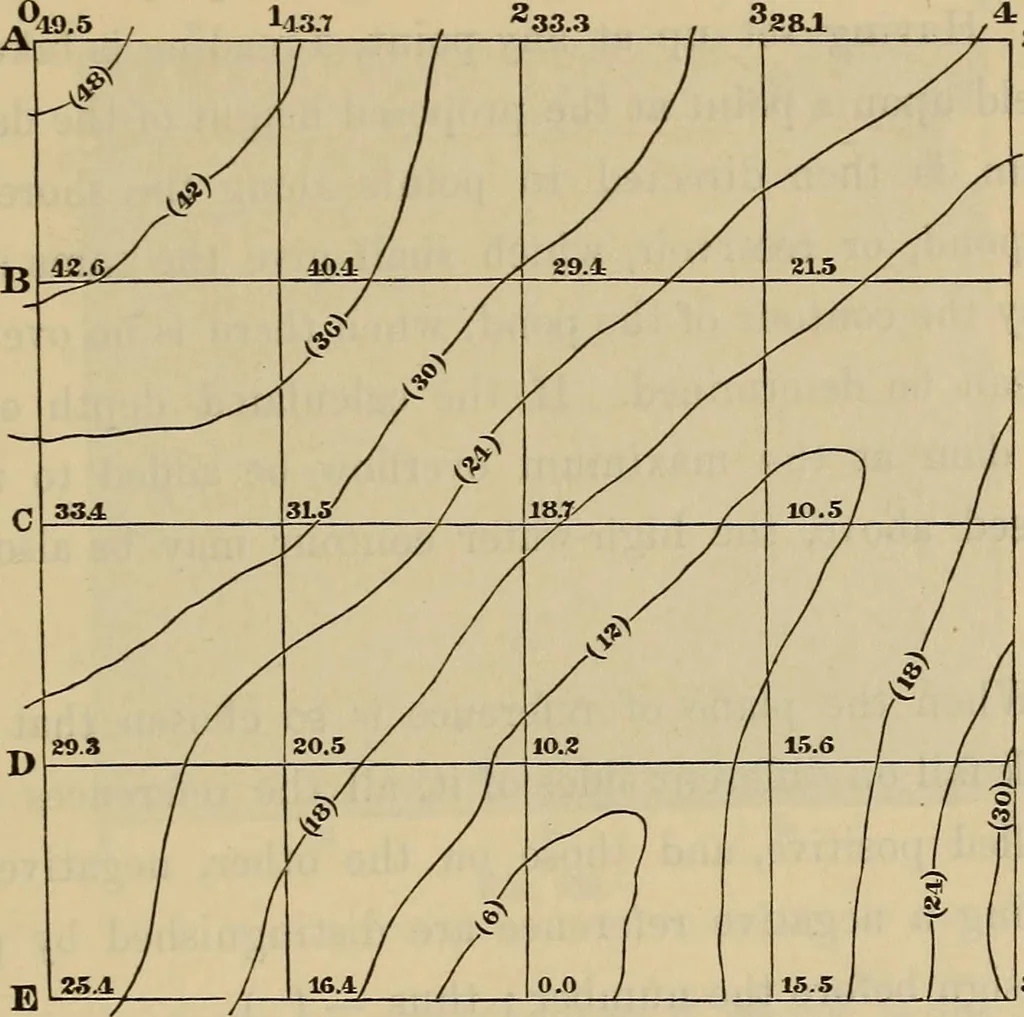
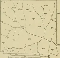
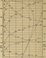
y a rough plot is needed, the Surveyor may takethe plot thus commenced, into the field, and by the eye tracethe contour lines on the map. If we note where the lines of therectangles cut fences, roads, streams, &c., we can, by joining thepoints, obtain a plot of the ground. BOOK VIII.]… … 2a5 15.6 20J 31.7 32.9 Fig. 158. pose it to be 11.432. If we wish to mark out the contour line sixfeet above the datum plane, we set the target of the leveling rodat 11.432—6 = 5.432, and direct the rodman, by signals, up ordown the hill, till the horizontal wire of the telescope coincideswith the…
Surveying
Internet Archive · Library of Congress · Public Domain Mark 1.0. Free to use for anything.