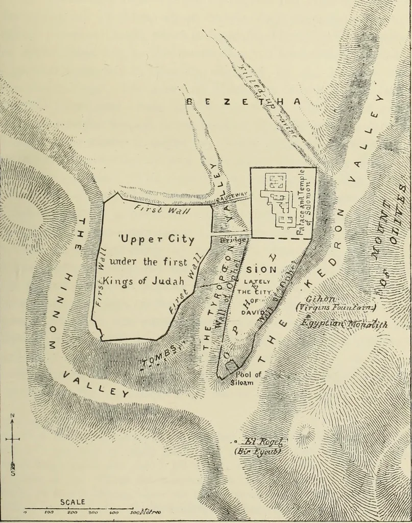
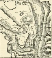
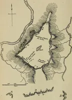
ies eastward run to the Dead Sea and the Jordan. Thecity stands on the southern extremity of a spur or plateau, enclosedby two ravines, which bear the familiar names of Kedron andHinnom (Fig. 106). The ravines rise north of Jerusalem, withina short distance of each other ; the Kedron runs eastward… … Topography of Jerusalem. 145 deep well south of the city. Both ravines are at first mere depres-sions of the ground, which here is almost level ; but they rapidly fallin their southern course. A third ravine, the Tyropceon—thevalley of the cheesemongers of Roman times, but whose originalname is…
Hittites · Art · Jews
Internet Archive · University of Toronto, Robarts Library · Public Domain Mark 1.0. Free to use for anything.