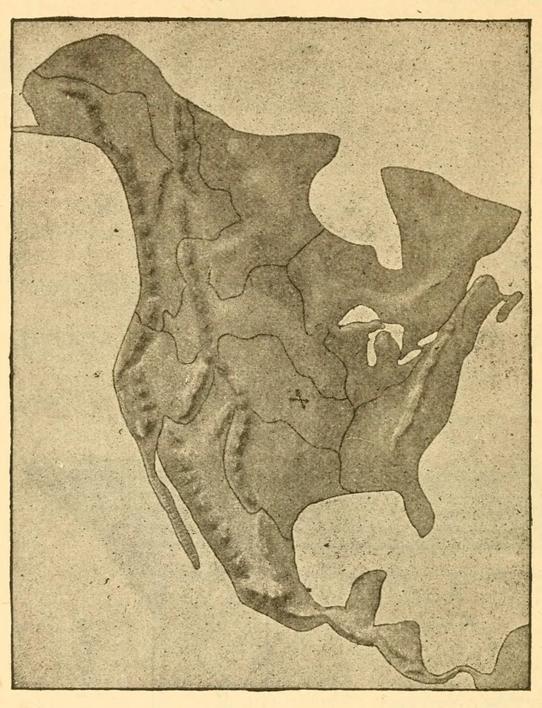
106 RAISED MAPS OP THE CONTINENTS. RAISED MAPS OF THE CONTINENTS. LARGE REFERENCE RELIEF MAPS (21 x24 inches), modeled by ALEX. E, FRYE. … Every portion of the Earth is shown in Actual, Remef on a Uniform Scale of Elevation; Slopes, Water Partincjs, Plateaus, Mountain Ranges (principal Peaks and Passes), River Basins, Systems of Drainage (Rivers, Lakes, etc.) In short, a complete representation of the natural features of the six…
Schools -- Furniture, equipment, etc. · Teaching Aids and devices
Internet Archive · Winterthur Museum Library · Public domain (published before 1931). Free to use for anything.