Journal of the Association of Engineering Societies (1881)
Association of Engineering Societies (U.S.) · New York, [etc.] Board of Managers · leaf 286
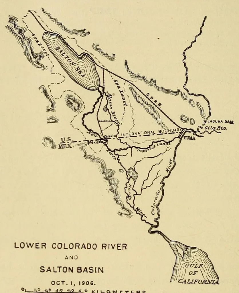
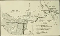
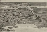
ASSOCIATION OF ENGINEERING SOCIETIES. 262 from 130 ft. above sea level at the United States — Mexican boundary line to something over 20 ft. above sea level on the western side of the gulf basin. The normal slope to the gulf is now about 1.7 ft. per mile in a distance of about 75 miles. A mesa… … SALT ON S£A: tlll/ATIO* Oic IO. i906-2of5it.QHSc*. ■AlTtA . ABOUT +OO 3Q. MILIS. Bottom at gar ecionr Ju . and the basin became dry, leaving extensive deposits of salt. The bottom of this basin is 287 ft. below sea level. The Southern Pacific Railway, after crossing the Colorado River at Yuma,…
Engineering
Internet Archive · Smithsonian Libraries · Public domain (published before 1931). Free to use for anything.