Maps and map-making; three lectures delivered under the auspices of the Royal geographical society (1910)
Reeves, Edward Ayearst, 1862-1945, Royal Geographical Society (Great Britain) · London, The Royal geographical society · leaf 113
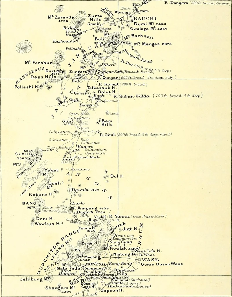
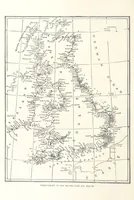
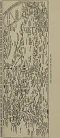
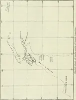
Fig. 92.—Latitude and AzimuthTraverse. 94 MAPS AND MAP-MAKING azimuth traverse is given in the route map (Fig. 93).This was made by one of my pupils, Mr. Talbot, of the … Fig. 93.—Map from a Latitude and Azimuth Traverse. Alexander-Gosling expedition, and shows their route toLake Chad. SURVEY METHODS 95 In ordinary theodolite traversing, as it is called, theangles between the stations on the route followed areobserved by a theodolite, and the distance between…
Cartography · Surveying
Internet Archive · Wellesley College Library · Public Domain Mark 1.0. Free to use for anything.