Maps and map-making; three lectures delivered under the auspices of the Royal geographical society (1910)
Reeves, Edward Ayearst, 1862-1945, Royal Geographical Society (Great Britain) · London, The Royal geographical society · leaf 115
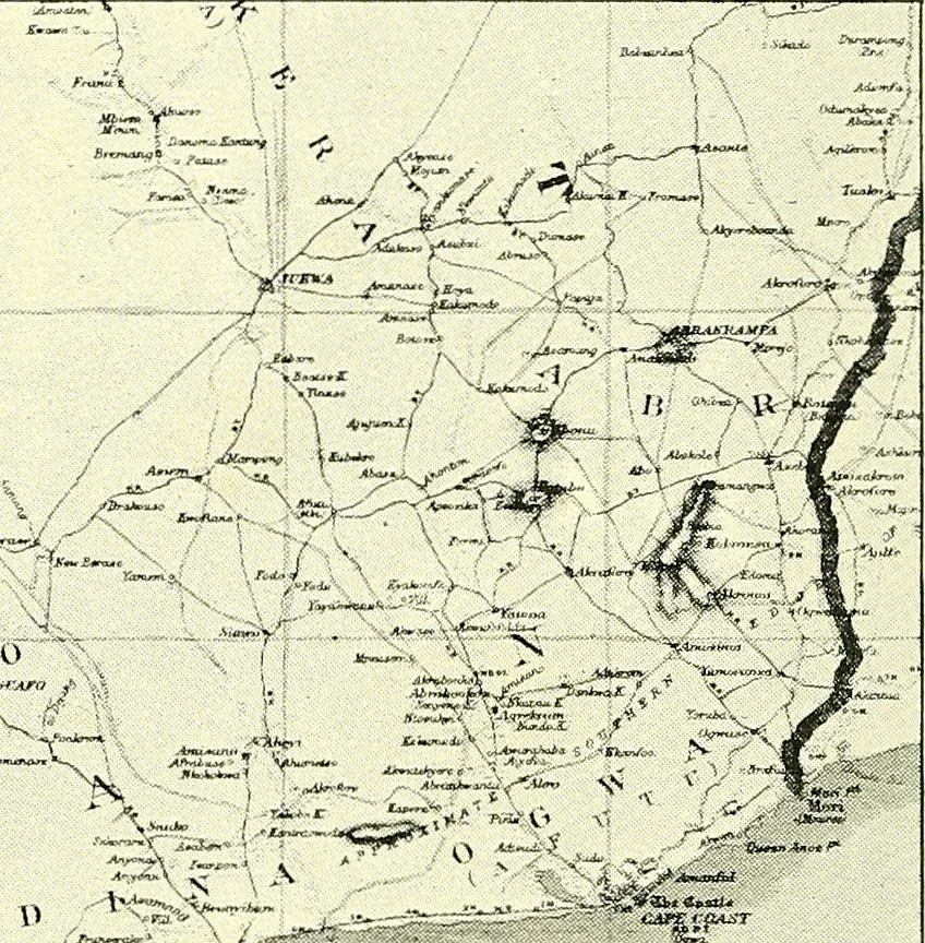
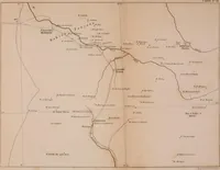
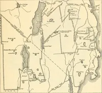
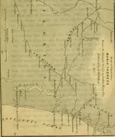
or P. IT.Fawcett, R.A.) 96 MAPS AND MAP-MAKING latitude, longitude and azimuth ; and although some of thesewere decidedly rough, it is surprising what good work wasfrequently carried out in this manner. At the principalwindings of the route compass bearings were read, anddistances obtained, usually… … x Fig. 95.—Reduced from Sheet of Gold-Coast Survey, fromTheodolite Traverses. maps, you would be struck with their general accuracy.I will now show you (Fig. 96) a facsimile of part ofDr. Livingstones map of his route across Africa in 1856,which resulted in the discovery of the Victoria Falls,…
Cartography · Surveying
Internet Archive · Wellesley College Library · Public Domain Mark 1.0. Free to use for anything.