Maps and map-making; three lectures delivered under the auspices of the Royal geographical society (1910)
Reeves, Edward Ayearst, 1862-1945, Royal Geographical Society (Great Britain) · London, The Royal geographical society · leaf 132
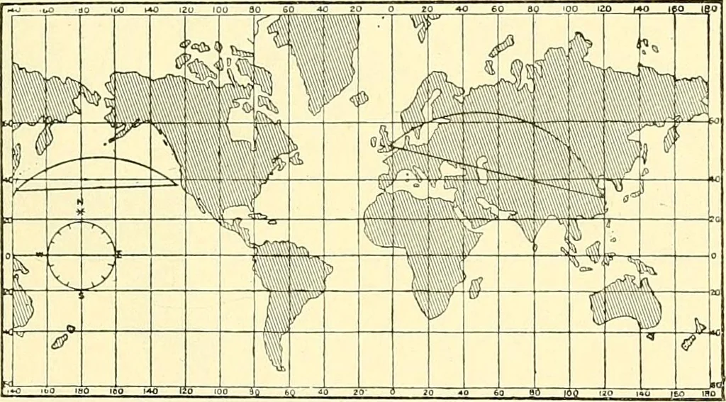
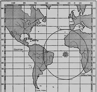
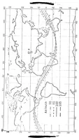
pole atthe bottom of the map, the North Pole was not at the top,as he considered it ought to be. Mercators projection (named after the inventor) is theone almost entirely used for marine charts, for the reasonthat it is the only one upon which the line of constantbearing can be drawn between any… … Fig. 109.—Mercators Projection. with any north and south line. If he steers his ship on thisbearing, he will arrive at his destination, although if thedistance be great he will have gone a roundabout way toget there, as you would see if you were to mark off thelatitudes and longitudes of the track…
Cartography · Surveying
Internet Archive · Wellesley College Library · Public Domain Mark 1.0. Free to use for anything.