Maps and map-making; three lectures delivered under the auspices of the Royal geographical society (1910)
Reeves, Edward Ayearst, 1862-1945, Royal Geographical Society (Great Britain) · London, The Royal geographical society · leaf 133
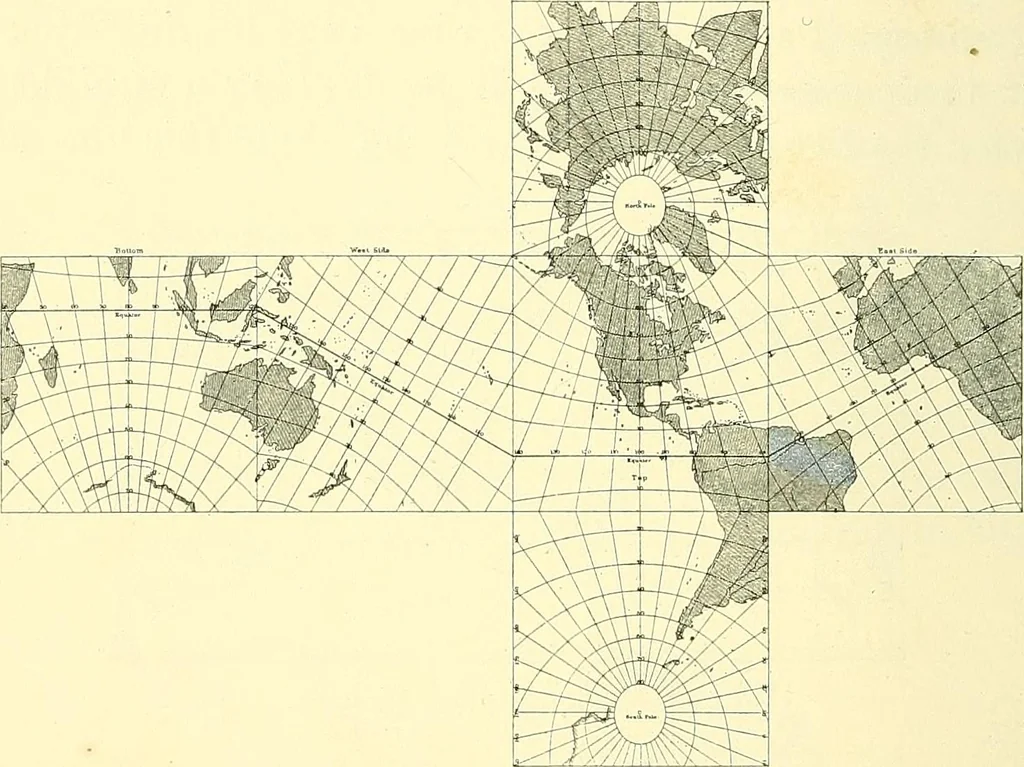
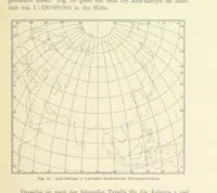
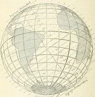
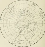
MAPS AND MAP-MAKING line, the arc of a great circle, or the shortest possible distancebetween the two places. At first sight this seems somewhathard to believe, but, as I have said, it would be quite clear ifyou were to plot both tracks on a globe. On the globe, ofcourse, the meridians converge… … Fig. 110.—Gnomonic Projection. the land forms would be pulled out in an east-and-westdirection, and this distortion would increase more and morethe further we got away from the equator. Therefore if weare to preserve the proper forms of the lands, we mustincrease the distance between the parallels…
Cartography · Surveying
Internet Archive · Wellesley College Library · Public Domain Mark 1.0. Free to use for anything.