Maps and map-making; three lectures delivered under the auspices of the Royal geographical society (1910)
Reeves, Edward Ayearst, 1862-1945, Royal Geographical Society (Great Britain) · London, The Royal geographical society · leaf 136
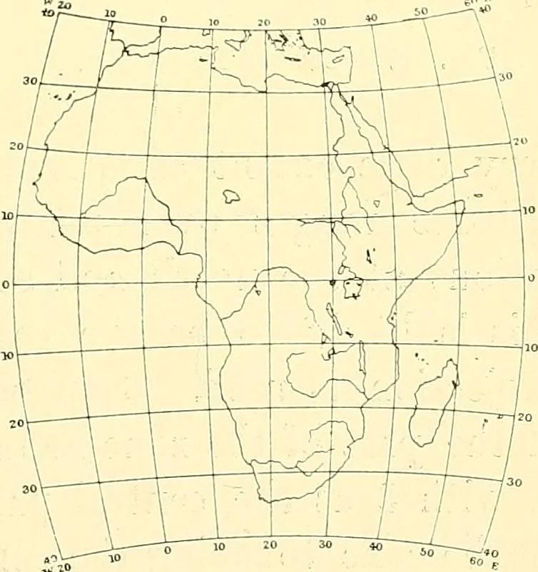
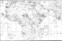
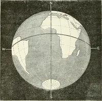
resentation of a large area, but lessthan a hemisphere, a conti-nent say, Col. Clarkes mini-mum error projection is agood one, and Fig. 116 is amap of Africa on this pro-jection taken from Col. Closesexcellent text-book on Topo-graphical and GeographicalSurveying. This supposes theeye to be over… … Fig. 116.—Clarkes Minimum ErrorProjection. 118 MAPS AND MAP-MAKING form of what is usually known as the conical projectionis generally used; and I will bring my remarks on this partof my subject to a close by a brief reference to these. If wesuppose a cone of paper with its apex A (Fig. 117) to…
Cartography · Surveying
Internet Archive · Wellesley College Library · Public Domain Mark 1.0. Free to use for anything.