Maps and map-making; three lectures delivered under the auspices of the Royal geographical society (1910)
Reeves, Edward Ayearst, 1862-1945, Royal Geographical Society (Great Britain) · London, The Royal geographical society · leaf 139
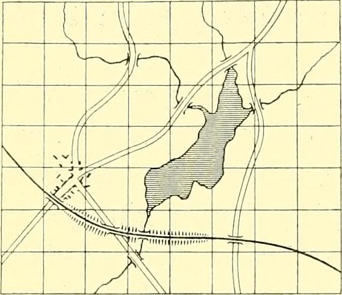
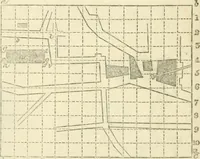
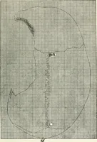
erve as a founda-tion for the map, to which plane-tabling, traverses, routesurveys, and all other work must be adjusted. The drawingof the map now proceeds in earnest; the various survey sheetsand cartographical documents are dealt with one after theother, reduced by a method known as squaring in,… … • \ • ^ , \ Y -1 S 1 / Yv ^ /x\\ Fig. 119.—Reducing or Enlarging by squaring in. To face pag& « 1 ELAIE I r 1 A ( 1 >». L 1 \ V/ -— . y^ \< \ \ / ,- V- ) 3 H- \ A / / ! w \ s / Y| ^\/\^\ /^ ^\x\ •* 1/ / v 1 ^ \v^\ \ . .-■ < \s< \/\ /\ /\ /\ -A/vX / Y s SCv / / YJ ^ / 1 / / ^X^^ ;..…
Cartography · Surveying
Internet Archive · Wellesley College Library · Public Domain Mark 1.0. Free to use for anything.