Maps and map-making; three lectures delivered under the auspices of the Royal geographical society (1910)
Reeves, Edward Ayearst, 1862-1945, Royal Geographical Society (Great Britain) · London, The Royal geographical society · leaf 149
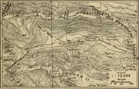
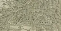
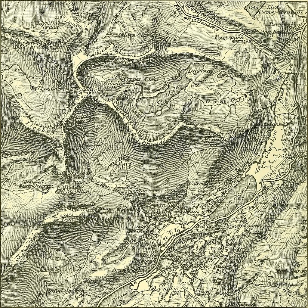
ingis employed, it should be combined with contours, as inthe present example, in which case there can then be nomistake of this kind. (4) Fig. 127 is a specimen of the vertical hachure system 128 MAPS AND MAP-MAKING of showing hills. Short lines are drawn down the slopesfrom the crests of the… … Fig. 127.—Hill Shading. Vertical Hachuriug combined with Contouring (fromSnowdon Sheet of one-inch Ordnance Survey). intervals are regulated to a proper scale, so many lines goingto a certain number of degrees of slope, as you see fromFig. 128, which illustrates the principle. Fig. 127 is, likeFig.…
Cartography · Surveying
Internet Archive · Wellesley College Library · Public Domain Mark 1.0. Free to use for anything.
![An illustration from A collection of maps of Europe, Asia, Africa, North America, and South America, circa 1700-1725, by Sr. Sanson, Guillieme de l'Isle, Peter Schenck, and others. [cartographic material] (1700)](https://img.insideoutlibrary.com/img/200/ia-collectionmapsE00Sans-82-125.webp)